


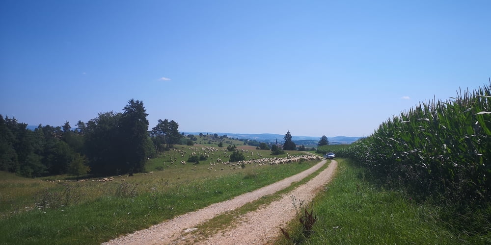
Es ist keine MTB Runde im klassischen Sinne sondern eine Wanderung die ich mit dem MTB unternommen habe. Wegen der Graswege und der Hügel ist ein MTB besser als ein anderer Fahrradtyp.
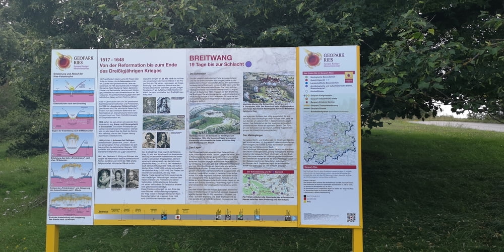
https://www.ferienland-donau-ries.de/wege/schwedenweg-684/
Der Schwedenweg ist eigenlich ein Zielwanderweg von Bopfingen zum Albuch von 19km Länge. Wie kommt man da dann wieder zurück? Ich bin es deshalb mit dem MTB hin und zurück gefahren mit kleinen Erweiterungen am Anfang und am Ende mit Teilstücken vom Südries-Panoramaweges.
Galeria trasy

Mapa trasy i profil wysokości
Minimum height 461 m
Maximum height 653 m
More about the tour author
|
|
JoachimDief |
Komentarze

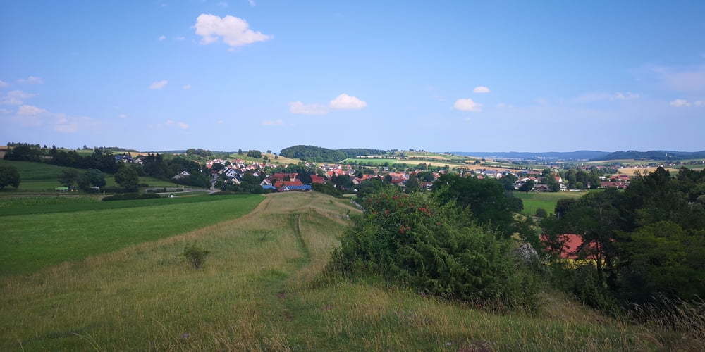
Mein Start ist der Wanderparkplatz bei der Burgruine Niederhaus.
GPS tracks
Trackpoints-
GPX / Garmin Map Source (gpx) download
-
TCX / Garmin Training Center® (tcx) download
-
CRS / Garmin Training Center® (crs) download
-
Google Earth (kml) download
-
G7ToWin (g7t) download
-
TTQV (trk) download
-
Overlay (ovl) download
-
Fugawi (txt) download
-
Kompass (DAV) Track (tk) download
-
Karta trasy (pdf) download
-
Original file of the author (gpx) download
More about the tour author
|
|
JoachimDief |
Add to my favorites
Remove from my favorites
Edit tags
Open track
My score
Rate