


Es ist eine lange Wanderung die einem um den Ort Beilngries bringt. Dabei geht es über drei „Hügel“ oder Berge. Man hat also oft einen schönen Ausblick auf Beilngries und die Umgebung. Die Wanderwege sind oft sehr schmal. Damit man den richtigen nimmt sollte man nach GPS Track wandern.
Die Highlights der Berge:
-
Gendenkmal Wodansbug
-
Schloss Hirschberg
-
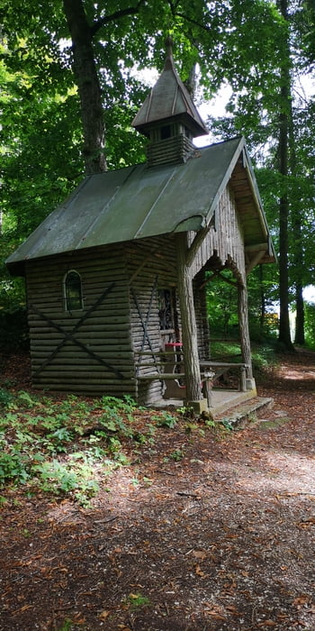
Arzberg
Galeria trasy


Mapa trasy i profil wysokości
Minimum height 357 m
Maximum height 517 m
More about the tour author
|
|
JoachimDief |
Komentarze

Zum Donau-Hafen bei Beilngries fahren. Da gibt es auch genügend Parkplätze.
GPS tracks
Trackpoints-
GPX / Garmin Map Source (gpx) download
-
TCX / Garmin Training Center® (tcx) download
-
CRS / Garmin Training Center® (crs) download
-
Google Earth (kml) download
-
G7ToWin (g7t) download
-
TTQV (trk) download
-
Overlay (ovl) download
-
Fugawi (txt) download
-
Kompass (DAV) Track (tk) download
-
Karta trasy (pdf) download
-
Original file of the author (gpx) download
More about the tour author
|
|
JoachimDief |
Add to my favorites
Remove from my favorites
Edit tags
Open track
My score
Rate