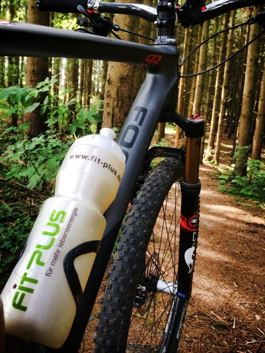
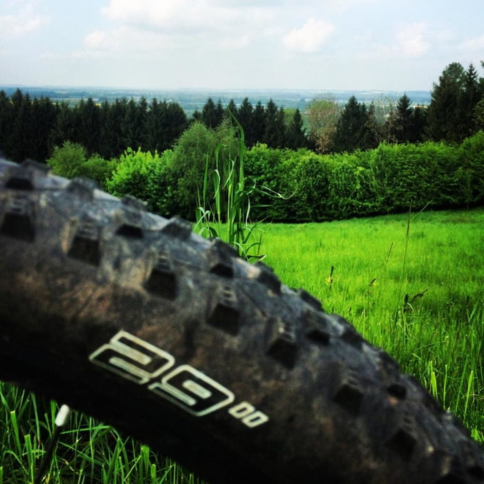
LA Nord ist eine abwechslungsreiche Runde über Stock und Stein, Waldwege, ein paar Straßenabschnitte, Trails und „Jungle“ ? .
Derzeit (Sept 2021) sind einige WENIGE kurze Abschnitte (ca 50 m) zugewachsen, aber fahrbar, zumindest für mich.
Wer meine Runden kennt, kennt auch viele Abschnitte dieser Runde. Aber hilft ja nix. Die Möglichkeiten in und um LA sind endlich.
Ich finde die Tour veröffentlichungswürdig und wünsch euch viel Spaß!
Galeria trasy
Mapa trasy i profil wysokości
Minimum height 388 m
Maximum height 501 m
Komentarze

Start ab Flutmulde oder überall
GPS tracks
Trackpoints-
GPX / Garmin Map Source (gpx) download
-
TCX / Garmin Training Center® (tcx) download
-
CRS / Garmin Training Center® (crs) download
-
Google Earth (kml) download
-
G7ToWin (g7t) download
-
TTQV (trk) download
-
Overlay (ovl) download
-
Fugawi (txt) download
-
Kompass (DAV) Track (tk) download
-
Karta trasy (pdf) download
-
Original file of the author (gpx) download
Add to my favorites
Remove from my favorites
Edit tags
Open track
My score
Rate


