

Wer hätte das gedacht: in der Bretagne kann man auch gut Mountainbiken. Es gibt sogar ein umfangreiches Verzeichnis mit wirklich schönen Touren (siehe unten). Leider nur auf Französisch.
Dieser Track entspricht im Wesentlichen der Tour 5/Saint Kodélig und sollte auch von weniger geübten Bikern mit nur wenigen, kurzen Schiebestücken zu bewältigen sein.
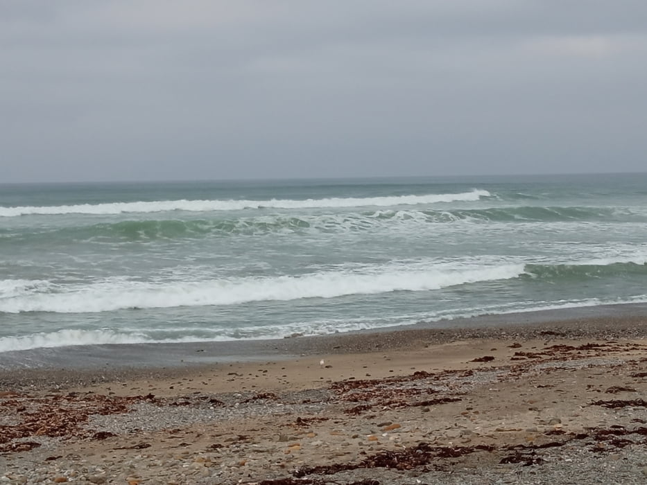
Einkehren kann man im Restaurant an der Küste oder sicherlich auch in dem einen oder anderen Ort.
Further information at
https://vttenfinistere.fr/carte-interactive-boucles-vtt-finistere/Galeria trasy


Mapa trasy i profil wysokości
Minimum height 4 m
Maximum height 83 m
More about the tour author
|
|
buehlems |
Komentarze

GPS tracks
Trackpoints-
GPX / Garmin Map Source (gpx) download
-
TCX / Garmin Training Center® (tcx) download
-
CRS / Garmin Training Center® (crs) download
-
Google Earth (kml) download
-
G7ToWin (g7t) download
-
TTQV (trk) download
-
Overlay (ovl) download
-
Fugawi (txt) download
-
Kompass (DAV) Track (tk) download
-
Karta trasy (pdf) download
-
Original file of the author (gpx) download
More about the tour author
|
|
buehlems |
Add to my favorites
Remove from my favorites
Edit tags
Open track
My score
Rate