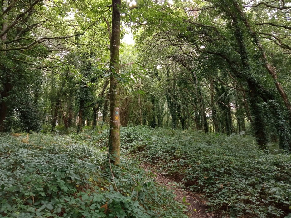
Wer hätte das gedacht: in der Bretagne kann man auch gut Mountainbiken. Es gibt eine tolle Webseite mit 80 Touren. Siehe Link unten.
Schöne Tour, wenn man nach einem Besuch von Quimper noch etwas Energie abbauen muss. Wir starten am Campingplatz in Quimper und folgen dann im Wesentlichen der Strecke 2/'Vallée de l'Eau Blanche. Erstaunlich ist, dass man sich größtenteils im Stadtgebiet befindet und trotzdem zu über 50% auf Single Trails fährt.
Neben der eigentlichen Strecke gibt es auch viele andere Pfade, die in meiner Open Street Maps Karte nicht eingezeichnet waren. Deshalb kann man sich leicht mal verfahren, was mir auch passier ist. Das ist aber nicht weiter schlimm: man kommt meist wieder schnell auf die eigentliche Tour und es ist alles fahrbar.
Aufpassen muss man in Ti Douar am östlichen Zipfel der Strecke, weil man da eine Acht fährt. Kann man natürlich auch abkürzen, wenn man will.
Further information at
https://vttenfinistere.fr/carte-interactive-boucles-vtt-finistere/Galeria trasy
Mapa trasy i profil wysokości
Komentarze

GPS tracks
Trackpoints-
GPX / Garmin Map Source (gpx) download
-
TCX / Garmin Training Center® (tcx) download
-
CRS / Garmin Training Center® (crs) download
-
Google Earth (kml) download
-
G7ToWin (g7t) download
-
TTQV (trk) download
-
Overlay (ovl) download
-
Fugawi (txt) download
-
Kompass (DAV) Track (tk) download
-
Karta trasy (pdf) download
-
Original file of the author (gpx) download


