
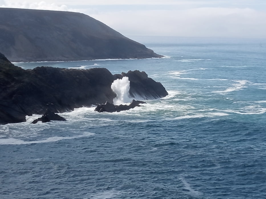

Schöne Tour mit tollen Blicken auf die Küste. Im Wesentlichen folgen wir der Strecke 14/ Rostudel aus dem Link unten. Starten aber nicht in Mogat sondern auf einem Parkplatz bei La Palue.
Ungeübtere Fahrer müssen sich auf ein paar kürzere Schiebepassagen einstellen. Nicht weil es so steil wäre, aber der Untergrund ist so steinig, dass es manchmal wirklich schwierig wird die Balance zu halten.
Aber insgesamt ist es die Strecke wirklich wert. Viel Spaß.
Einkehrmöglichkeiten gibt es in Morgat.
Further information at
https://vttenfinistere.fr/carte-interactive-boucles-vtt-finistere/Galeria trasy


Mapa trasy i profil wysokości
Minimum height -13 m
Maximum height 103 m
More about the tour author
|
|
buehlems |
Komentarze

GPS tracks
Trackpoints-
GPX / Garmin Map Source (gpx) download
-
TCX / Garmin Training Center® (tcx) download
-
CRS / Garmin Training Center® (crs) download
-
Google Earth (kml) download
-
G7ToWin (g7t) download
-
TTQV (trk) download
-
Overlay (ovl) download
-
Fugawi (txt) download
-
Kompass (DAV) Track (tk) download
-
Karta trasy (pdf) download
-
Original file of the author (gpx) download
More about the tour author
|
|
buehlems |
Add to my favorites
Remove from my favorites
Edit tags
Open track
My score
Rate