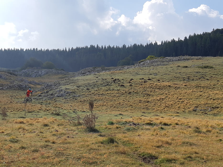
Nach dem Start zuerst gemütlich die Paßstraße zum Campo Imperatore hinauf. Bei uns war keinerlei Verkehr. Bevor man die Hochebene nach einem kleinen Übergang erreicht, kann die Straße verlassen werden und es geht einen Trail weiter. Wir fahren zu einem ehemaligen Bergwerk um anschließend über Trails zurück nach Castel del Monte zu fahren. Die Trails sind nicht schwer, aber schottrig.
Galeria trasy
Mapa trasy i profil wysokości
Minimum height 1343 m
Maximum height 1769 m
Komentarze

Von der Autobahn Rom - Temaro bei LÁquila abfahren und die sehr schöne Strecke über St. Stefano nach Castel del Monte.
Wir parken beim Albergo Parco Gran Sasso, es gibt zahlreiche weiter kostenfreie Parkplätze.
GPS tracks
Trackpoints-
GPX / Garmin Map Source (gpx) download
-
TCX / Garmin Training Center® (tcx) download
-
CRS / Garmin Training Center® (crs) download
-
Google Earth (kml) download
-
G7ToWin (g7t) download
-
TTQV (trk) download
-
Overlay (ovl) download
-
Fugawi (txt) download
-
Kompass (DAV) Track (tk) download
-
Karta trasy (pdf) download
-
Original file of the author (gpx) download
Add to my favorites
Remove from my favorites
Edit tags
Open track
My score
Rate


