Login

Zapomniałeś swój login?

Cookies have to be accepted!
Your browser's cookie functionality is disabled. Please enable this functionality.

Not a member yet?

Register now
Login

Available for registred users only

Log in to use this feature.

Zapomniałeś swój login?

Cookies have to be accepted!
Your browser's cookie functionality is disabled. Please enable this functionality.

Not a member yet?

Register now
Filter
Kategorie
Advanced filters
  • Długość (km)
  • Wysokość
Zapisz filtr Reset filter

TrackRank

QRCode

Technical data

Długość7,9 km Wysokość714 m Way down732 m Czas trwania03:30 h:m Data09.10.2021
Oceny Author Krajobraz Czynnik zadowolenia Kondycja Technika

Statystyka

258 Widoki Oceny 5 Downloads / Pliki do pobrania Przeciętnie
Rate
  • Karta trasy
  • Dojazd
  • Downloads / Pliki do pobrania

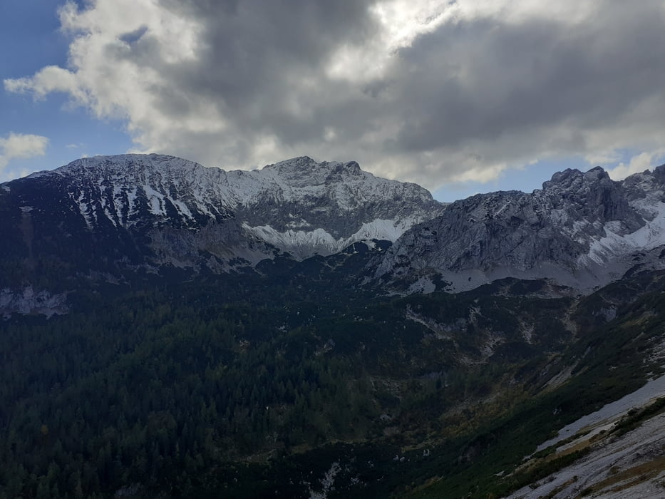
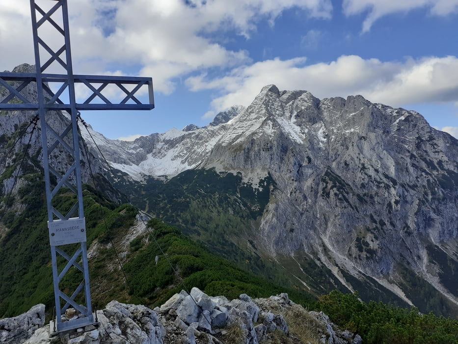
Vom Parkplatz auf dem markierten Weg in 1 Std. zur Laglalm. Weiter Richtung Scheiblingstein. Nach 5 Min. beschilderte Abzweigung zum Mannsberg. Durch die Latschen steil empor zum Gipfel.

Rückweg auf dem Anstiegsweg.

Galeria trasy

Mapa trasy i profil wysokości

  • Open Street Map
  • Google
Minimum height 879 m Maximum height 1604 m Widok szczegółowy

More about the tour author

JoHangler
Member since 2013

Send private message

Komentarze

Auf der Autobahn A9 bis zur Abfahrt Windischgarsten. Durch den Ort Richtung Richtung Rosenau am Hengstpass. Nach dem Ort der Beschilderung zum Biathlonzentrum in die Innerrosenau. Nach dem Zentrum bis zum Ende der Fahrstraße. Kleiner Parkplatz.

GPS tracks

Trackpoints
  • GPX / Garmin Map Source (gpx) download
  • TCX / Garmin Training Center® (tcx) download
  • CRS / Garmin Training Center® (crs) download
  • Google Earth (kml) download
  • G7ToWin (g7t) download
  • TTQV (trk) download
  • Overlay (ovl) download
  • Fugawi (txt) download
  • Kompass (DAV) Track (tk) download
  • Karta trasy (pdf) download
  • Original file of the author (gpx) download

More about the tour author

JoHangler
Member since 2013

Send private message
Share track
Add to my favorites
Remove from my favorites
Edit tags
My score
Rate
Trasa: Mannsberg
Rodzaj: Trasy górskie
Długość: 7,9 km
Evaluated on:
Czas trwania:
Day(s)
Hour(s)
Minute(s)
Ocena: Krajobraz Czynnik zadowolenia Kondycja Technika