Schöne Wanderung vom Bodensee aus mit Zielpunkt Hans Wödl Hütte. Die Hütte kann auch als Stützpunkt für Tagestouren auf den Höchstein, die Hochwildstelle oder die Überschreitung zur Preintalerhütte gewählt werden.
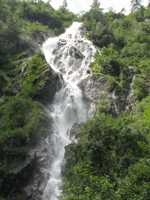
Der Weg geht zuerst asphaltiert zum Bodensee, diesen auf Schotter entlang weiter und zum Schluss steil entlang des Wasserfalls hinauf zur Hütte. Immer wieder schöne Blicke zurück auf den See und den Kammspitz.
Further information at
http://www.preintaler.atGaleria trasy
Mapa trasy i profil wysokości
Minimum height 1140 m
Maximum height 1514 m
Komentarze

Ennstalbundesstrasse bis Aich, von dort über die Mautstrasse zum Parkplatz Bodensee.
GPS tracks
Trackpoints-
GPX / Garmin Map Source (gpx) download
-
TCX / Garmin Training Center® (tcx) download
-
CRS / Garmin Training Center® (crs) download
-
Google Earth (kml) download
-
G7ToWin (g7t) download
-
TTQV (trk) download
-
Overlay (ovl) download
-
Fugawi (txt) download
-
Kompass (DAV) Track (tk) download
-
Karta trasy (pdf) download
-
Original file of the author (gpx) download
Add to my favorites
Remove from my favorites
Edit tags
Open track
My score
Rate


