


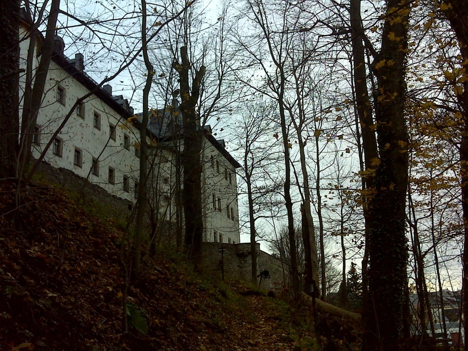
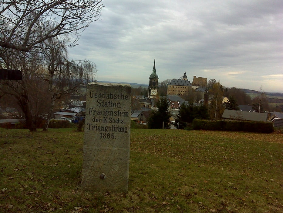
Die Wanderung trifft mitten in die sächsische Corona – Hysterie, weil unser Despot an nämlichen Tag die Neueröffnung des Gottfried-Silbermann-Museums in Frauenstein durchführte.
Wir machten ein paar von den angebotenen Rundwegen. Museen und Gaststätten dürfen per Pekrass keine mitdenkenden Besucher empfangen. Sei es drum, die Zukunft Sachsens wird eh auf der Straße entschieden …
Wir starteten übrigens auf dem Parkplatz des ehemaligen PLUS-Marktes.
Wir machten ein paar von den angebotenen Rundwegen. Museen und Gaststätten dürfen per Pekrass keine mitdenkenden Besucher empfangen. Sei es drum, die Zukunft Sachsens wird eh auf der Straße entschieden …
Wir starteten übrigens auf dem Parkplatz des ehemaligen PLUS-Marktes.
Further information at
https://www.freiberg.de/Galeria trasy


Mapa trasy i profil wysokości
Minimum height 558 m
Maximum height 682 m
More about the tour author
|
|
Saxoniaradler |
Komentarze

Frauenstein liegt südlich von Freiberg. Dresden liegt viel tiefer im Osten!
Camper sind eh pfiffig und finden den Weg allein.
Camper sind eh pfiffig und finden den Weg allein.
GPS tracks
Trackpoints-
GPX / Garmin Map Source (gpx) download
-
TCX / Garmin Training Center® (tcx) download
-
CRS / Garmin Training Center® (crs) download
-
Google Earth (kml) download
-
G7ToWin (g7t) download
-
TTQV (trk) download
-
Overlay (ovl) download
-
Fugawi (txt) download
-
Kompass (DAV) Track (tk) download
-
Karta trasy (pdf) download
-
Original file of the author (gpx) download
More about the tour author
|
|
Saxoniaradler |
Add to my favorites
Remove from my favorites
Edit tags
Open track
My score
Rate