Login

Zapomniałeś swój login?

Cookies have to be accepted!
Your browser's cookie functionality is disabled. Please enable this functionality.

Not a member yet?

Register now
Login

Available for registred users only

Log in to use this feature.

Zapomniałeś swój login?

Cookies have to be accepted!
Your browser's cookie functionality is disabled. Please enable this functionality.

Not a member yet?

Register now
Filter
Kategorie
Advanced filters
  • Długość (km)
  • Wysokość
Zapisz filtr Reset filter

TrackRank

QRCode

Technical data

Długość45,3 km Wysokość1446 m Way down1446 m Czas trwania00:00 h:m Data27.12.2021
Oceny Author Krajobraz Czynnik zadowolenia Kondycja Technika

Statystyka

223 Widoki Oceny 36 Downloads / Pliki do pobrania Przeciętnie
Rate
  • Karta trasy
  • Dojazd
  • Downloads / Pliki do pobrania

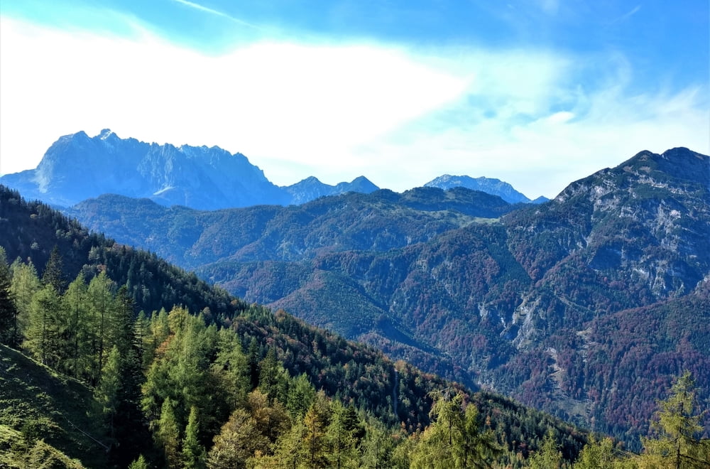
Von Seegatterl zum Straubinger-Haus und um den Weitsee.


Startpunkt ist der Parkplatz Seegatterl. Vom Parkplatz Richtung Reit im Winkl weiter zur Klausenberg-Alm zum Straubinger Haus. Zurück geht’s über die Hindenburghütte wieder zum Parkplatz Seegatterl. Wer noch lust hat kann noch die Runde um den Weitsee fahren im Sommer mit Bademöglichkeit.

ca. 44 Kilometer und ca. 1500 HM

Galeria trasy

Mapa trasy i profil wysokości

  • Open Street Map
  • Google
Minimum height 687 m Maximum height 1565 m Widok szczegółowy

More about the tour author

Triathlet53
Member since 2016

Send private message

Komentarze

GPS tracks

Trackpoints
  • GPX / Garmin Map Source (gpx) download
  • TCX / Garmin Training Center® (tcx) download
  • CRS / Garmin Training Center® (crs) download
  • Google Earth (kml) download
  • G7ToWin (g7t) download
  • TTQV (trk) download
  • Overlay (ovl) download
  • Fugawi (txt) download
  • Kompass (DAV) Track (tk) download
  • Karta trasy (pdf) download
  • Original file of the author (gpx) download

More about the tour author

Triathlet53
Member since 2016

Send private message
Share track
Add to my favorites
Remove from my favorites
Edit tags
My score
Rate
Trasa: Straubinger Haus Weitsee
Rodzaj: Rower górski (MTB)
Długość: 45,3 km
Evaluated on:
Czas trwania:
Day(s)
Hour(s)
Minute(s)
Ocena: Krajobraz Czynnik zadowolenia Kondycja Technika