Login

Zapomniałeś swój login?

Cookies have to be accepted!
Your browser's cookie functionality is disabled. Please enable this functionality.

Not a member yet?

Register now
Login

Available for registred users only

Log in to use this feature.

Zapomniałeś swój login?

Cookies have to be accepted!
Your browser's cookie functionality is disabled. Please enable this functionality.

Not a member yet?

Register now
Filter
Kategorie
Advanced filters
  • Długość (km)
  • Wysokość
Zapisz filtr Reset filter

TrackRank

QRCode

Technical data

Długość37,5 km Wysokość1254 m Way down1252 m Czas trwania03:12 h:m Data22.01.2022
Oceny Author Krajobraz Czynnik zadowolenia Kondycja Technika

Statystyka

871 Widoki Oceny 112 Downloads / Pliki do pobrania Przeciętnie
Rate
  • Karta trasy
  • Dojazd
  • Downloads / Pliki do pobrania
  • Rundkurs gegen den Uhrzeigersinn.
  • Start/Ziel: Arco
  • Auf Asfalt, gleichmässig, mittelsteil ansteigend, bis zum Passo Santa Barbara (KM 13,8 - MH 1.170)
  • Weiter auf einem  Waldweg hinunter zur " Malga Zanga"/Restaurant.
  • Ab der Malga Zanga auf einer Schotterstrasse talwärts, unterbrochen von kurzen Anstiegen, bis KM 24,2 - MH 754).
  • Weiter auf Asfalt (angenehme Steigung) bis nach Arco.
  • Panoramareich - leicht/S0.
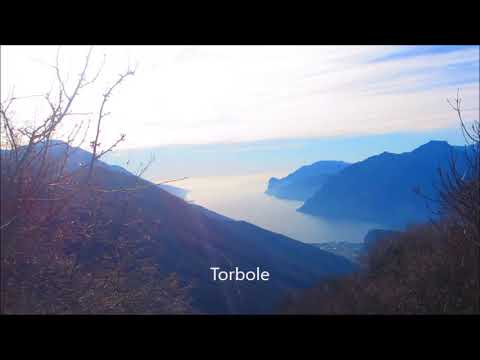
Galeria trasy

Mapa trasy i profil wysokości

  • Open Street Map
  • Google
Minimum height 87 m Maximum height 1201 m Widok szczegółowy

More about the tour author

MargesinFriedrich
Member since 2012

Send private message

Komentarze

GPS tracks

Trackpoints
  • GPX / Garmin Map Source (gpx) download
  • TCX / Garmin Training Center® (tcx) download
  • CRS / Garmin Training Center® (crs) download
  • Google Earth (kml) download
  • G7ToWin (g7t) download
  • TTQV (trk) download
  • Overlay (ovl) download
  • Fugawi (txt) download
  • Kompass (DAV) Track (tk) download
  • Karta trasy (pdf) download
  • Original file of the author (gpx) download

More about the tour author

MargesinFriedrich
Member since 2012

Send private message
Share track
Add to my favorites
Remove from my favorites
Edit tags
My score
Rate
Trasa: Arco-Malga Zanga-Arco
Rodzaj: Rower górski (MTB)
Długość: 37,5 km
Evaluated on:
Czas trwania:
Day(s)
Hour(s)
Minute(s)
Ocena: Krajobraz Czynnik zadowolenia Kondycja Technika