Login

Zapomniałeś swój login?

Cookies have to be accepted!
Your browser's cookie functionality is disabled. Please enable this functionality.

Not a member yet?

Register now
Login

Available for registred users only

Log in to use this feature.

Zapomniałeś swój login?

Cookies have to be accepted!
Your browser's cookie functionality is disabled. Please enable this functionality.

Not a member yet?

Register now
Filter
Kategorie
Advanced filters
  • Długość (km)
  • Wysokość
Zapisz filtr Reset filter

TrackRank

QRCode

Technical data

Długość10,8 km Wysokość523 m Way down603 m Czas trwania03:50 h:m Data13.02.2022
Oceny Author Krajobraz Czynnik zadowolenia Kondycja Technika

Statystyka

176 Widoki Oceny 9 Downloads / Pliki do pobrania Przeciętnie
Rate
  • Karta trasy
  • Dojazd
  • Downloads / Pliki do pobrania
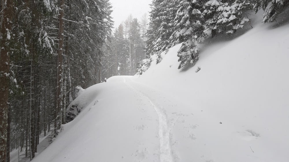
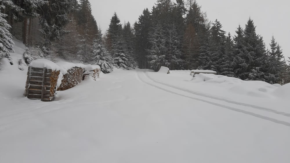
Auf Grund des schlechten Wetters (Sturm, Neuschnee und erhebliche Lawinengefahr) haben wir uns für diese sehr einfache Tour einem Forstweg entlang entschieden. Kurz vor dem Meissnerhaus sind wir wegen Zeritmangels runtergefahren.Wir mussten durchgehend rauf spuren, dadurch war es einigermaßen anstrengend trotz der wenigen hm. Die Rodelbahn runter kamen wir mit wenig Geschiebe.

Galeria trasy

Mapa trasy i profil wysokości

  • Open Street Map
  • Google
Minimum height 1001 m Maximum height 1607 m Widok szczegółowy

More about the tour author

mitter
Member since 2008

Send private message

Komentarze

Start beim Recyclinghof Ellbögen. Runtergekommen sind wir in Mühltal.

GPS tracks

Trackpoints
  • GPX / Garmin Map Source (gpx) download
  • TCX / Garmin Training Center® (tcx) download
  • CRS / Garmin Training Center® (crs) download
  • Google Earth (kml) download
  • G7ToWin (g7t) download
  • TTQV (trk) download
  • Overlay (ovl) download
  • Fugawi (txt) download
  • Kompass (DAV) Track (tk) download
  • Karta trasy (pdf) download
  • Original file of the author (gpx) download

More about the tour author

mitter
Member since 2008

Send private message
Share track
Add to my favorites
Remove from my favorites
Edit tags
My score
Rate
Trasa: Rg. Meissnerhaus 220207
Rodzaj: Narty
Długość: 10,8 km
Evaluated on:
Czas trwania:
Day(s)
Hour(s)
Minute(s)
Ocena: Krajobraz Czynnik zadowolenia Kondycja Technika