Login

Zapomniałeś swój login?

Cookies have to be accepted!
Your browser's cookie functionality is disabled. Please enable this functionality.

Not a member yet?

Register now
Login

Available for registred users only

Log in to use this feature.

Zapomniałeś swój login?

Cookies have to be accepted!
Your browser's cookie functionality is disabled. Please enable this functionality.

Not a member yet?

Register now
Filter
Kategorie
Advanced filters
  • Długość (km)
  • Wysokość
Zapisz filtr Reset filter

TrackRank

QRCode

Technical data

Długość105,1 km Wysokość1185 m Way down1184 m Czas trwania04:45 h:m Data30.06.2008
Oceny Author Krajobraz Czynnik zadowolenia Kondycja Technika

Statystyka

1902 Widoki Oceny 397 Downloads / Pliki do pobrania Przeciętnie
Rate
  • Karta trasy
  • Dojazd
  • Downloads / Pliki do pobrania
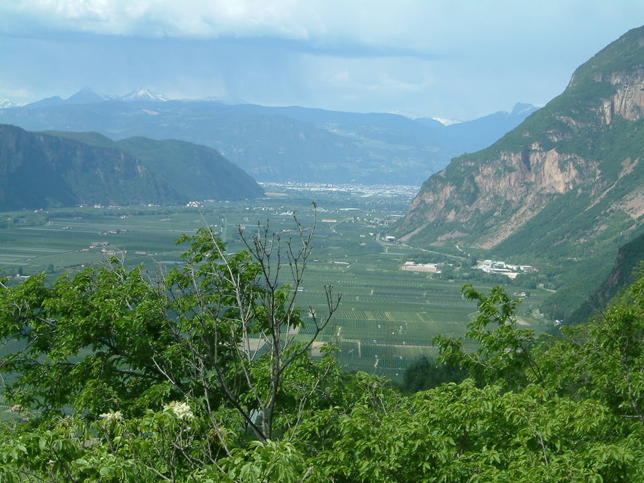
Start am Kalterer See, dann meist auf der Weinstraße, zum Teil auch auf dem Radweg und auf kleineren Seitenstraßen Richtung Lavis, wo der nur anfangs etwas steilere Anstieg ins Cembratal beginnt. Durch typisch italienische Dörfer in abwechslungsreicher Fahrt durch das Cembratal bis Molina di Fiemme. Hier Richtung San Lugano Paß abbiegen, der den höchsten Punkt der Tour darstellt. Dann in toller Abfahrt wieder zum Startpunkt zurück.

Galeria trasy

Mapa trasy i profil wysokości

  • Open Street Map
  • Google
Minimum height 206 m Maximum height 1105 m Widok szczegółowy

More about the tour author

rggps
Member since 2008

Send private message

Komentarze

Südtirol, Bozen, Kaltern, Kalterer See

GPS tracks

Trackpoints
  • GPX / Garmin Map Source (gpx) download
  • TCX / Garmin Training Center® (tcx) download
  • CRS / Garmin Training Center® (crs) download
  • Google Earth (kml) download
  • G7ToWin (g7t) download
  • TTQV (trk) download
  • Overlay (ovl) download
  • Fugawi (txt) download
  • Kompass (DAV) Track (tk) download
  • Karta trasy (pdf) download
  • Original file of the author (gpx) download

More about the tour author

rggps
Member since 2008

Send private message
Share track
Add to my favorites
Remove from my favorites
Edit tags
My score
Rate
Trasa: Kaltern-Cembratal-San Lugano Paß
Rodzaj: Rower szosowy
Długość: 105,1 km
Evaluated on:
Czas trwania:
Day(s)
Hour(s)
Minute(s)
Ocena: Krajobraz Czynnik zadowolenia Kondycja Technika