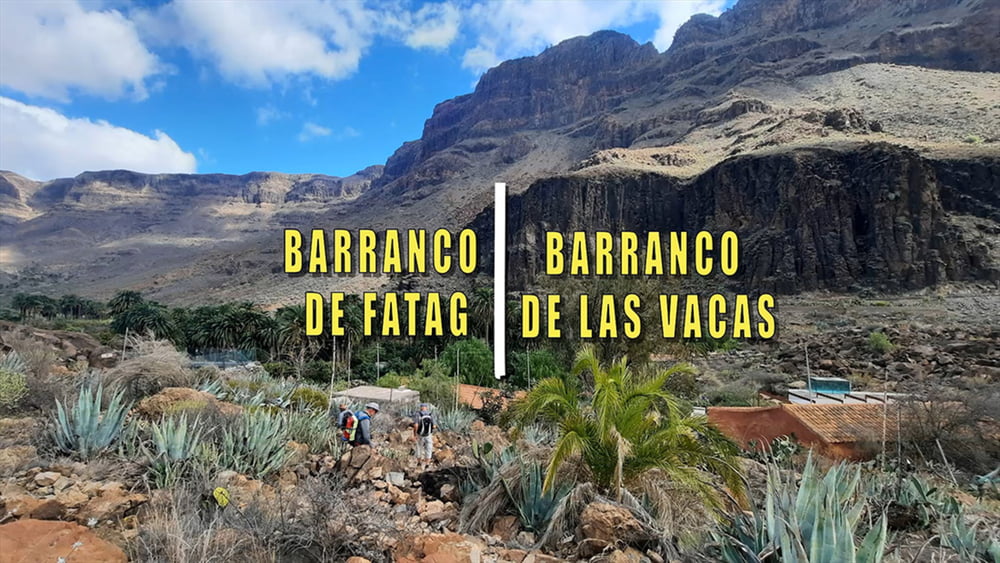
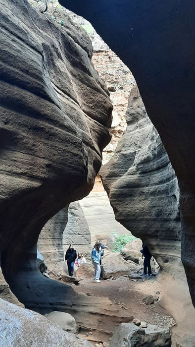
Vom Auto folgen wir zunächst einer Schotterpiste bis wir in ein ausgetrocknetes Flussbett hinabsteigen und diesem Folgen. Vorbei an einigen versprengten Häusern geht es Bergan auf einen Fahrweg dem wir ohne größeren Höhenunterschied Richtung Fataga folgen. Durch ein Gräberfeld erreichen wir unseren Ausgangspunkt.
Galeria trasy
Mapa trasy i profil wysokości
Minimum height 217 m
Maximum height 447 m
Komentarze

GPS tracks
Trackpoints-
GPX / Garmin Map Source (gpx) download
-
TCX / Garmin Training Center® (tcx) download
-
CRS / Garmin Training Center® (crs) download
-
Google Earth (kml) download
-
G7ToWin (g7t) download
-
TTQV (trk) download
-
Overlay (ovl) download
-
Fugawi (txt) download
-
Kompass (DAV) Track (tk) download
-
Karta trasy (pdf) download
-
Original file of the author (gpx) download
Add to my favorites
Remove from my favorites
Edit tags
Open track
My score
Rate


