

gestartet in Ochsensaal folgen wir der Route entgegen dem Uhrzeigersinn.
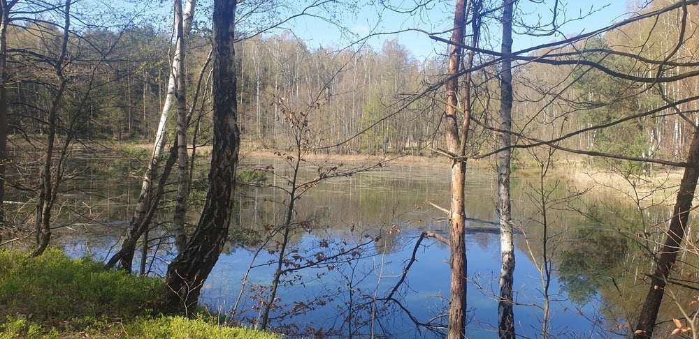
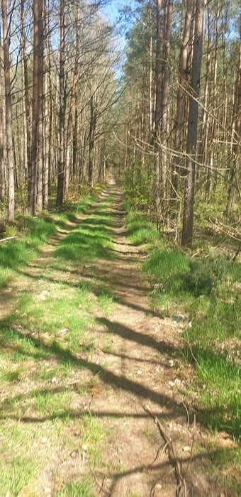
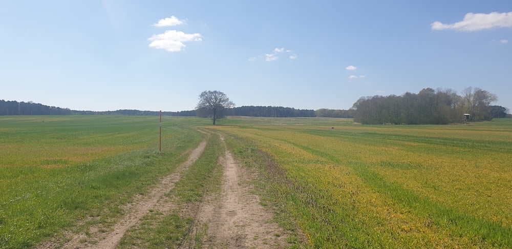
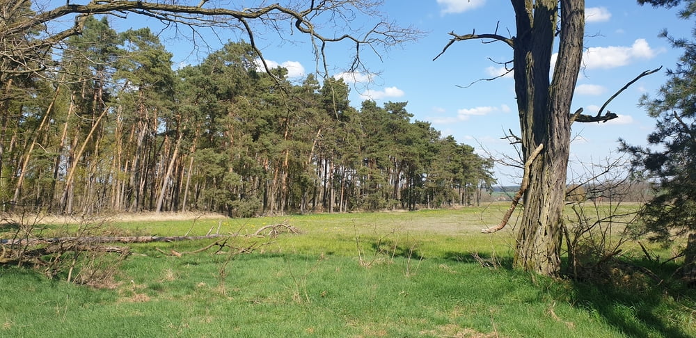
Es ist eine herrliche Waldrunde und gerade im Frühling sind die frischen Farben eine Augenweide. Meist führt die Runde über gut fahrbare Waldwege. Bei Lausa gibt es ein kleines Stück welches durch Forstfahrzeuge stark ausgefahren ist. Dort kann man evtl. links neben dem Berg lang fahren.
Mittagessen gab es in Taura.
Wunderbare entschleunigte Tour durch die Dahlener Heide. Einfach rollen lassen und die Natur bewundern. Abundzu stehen Bänke wo man die Sonne geniesen kann.
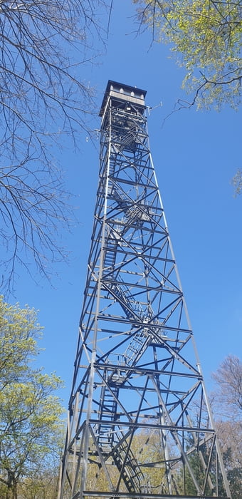
Die Türme waren bei uns geschlossen.
Wir sind die Runde mit EMTB´s gefahren. Aber mit guten Trecking Bikes sollte sie auch fahrbar sein.
Galeria trasy
Mapa trasy i profil wysokości
Minimum height 128 m
Maximum height 240 m
More about the tour author
|
|
FahrradfreundLE |
Komentarze

GPS tracks
Trackpoints-
GPX / Garmin Map Source (gpx) download
-
TCX / Garmin Training Center® (tcx) download
-
CRS / Garmin Training Center® (crs) download
-
Google Earth (kml) download
-
G7ToWin (g7t) download
-
TTQV (trk) download
-
Overlay (ovl) download
-
Fugawi (txt) download
-
Kompass (DAV) Track (tk) download
-
Karta trasy (pdf) download
-
Original file of the author (gpx) download
More about the tour author
|
|
FahrradfreundLE |
Add to my favorites
Remove from my favorites
Edit tags
Open track
My score
Rate