

- Rundkurs gegen den Uhrzeigersinn.
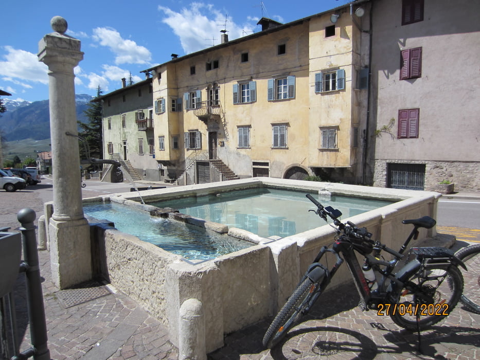
- Start/Ziel: Mezzocorona.
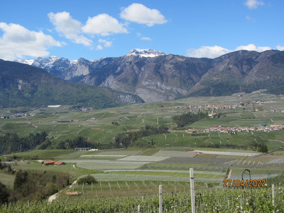
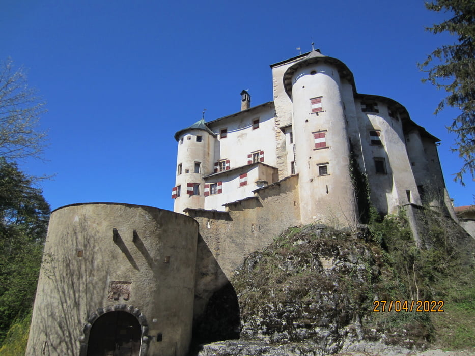
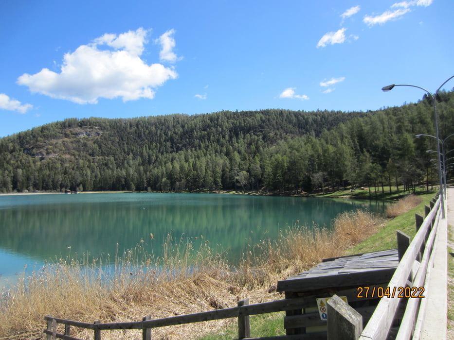
- Auf wenig befahrenen Provinzstrassen, Nebenwegen, Wiesenwegen, Waldwegen bis zu den 2 Seen "Coredo "+ " Tavon". Von dort Abfahrt zur Einsiedelei "San Romedio" (Bärengehege mit Bär)!!!
- Weiter talwärts durch die San Romedio Schlucht. bis San Zeno.
- Von dort Abfahrt auf der etwas stärker befahrenen Staatsstrasse bis nach Dermulo(ca. 4 KM).
- Weiter auf dem Nonstalradweg, Nebenwegen und einer wenig befahrenen Provinzstrasse nach Mezzocorona.
- Wir sind die Tour der Aufzeichnung von Nicola Tretter nachgefahren. Nicola, grazie per il bellissimo giro!!!!
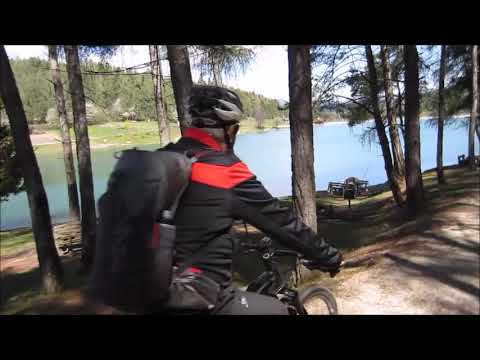
Galeria trasy
Mapa trasy i profil wysokości
Minimum height 261 m
Maximum height 927 m
More about the tour author
|
|
MargesinFriedrich |
Komentarze

GPS tracks
Trackpoints-
GPX / Garmin Map Source (gpx) download
-
TCX / Garmin Training Center® (tcx) download
-
CRS / Garmin Training Center® (crs) download
-
Google Earth (kml) download
-
G7ToWin (g7t) download
-
TTQV (trk) download
-
Overlay (ovl) download
-
Fugawi (txt) download
-
Kompass (DAV) Track (tk) download
-
Karta trasy (pdf) download
-
Original file of the author (gpx) download
More about the tour author
|
|
MargesinFriedrich |
Add to my favorites
Remove from my favorites
Edit tags
Open track
My score
Rate