Login

Zapomniałeś swój login?

Cookies have to be accepted!
Your browser's cookie functionality is disabled. Please enable this functionality.

Not a member yet?

Register now
Login

Available for registred users only

Log in to use this feature.

Zapomniałeś swój login?

Cookies have to be accepted!
Your browser's cookie functionality is disabled. Please enable this functionality.

Not a member yet?

Register now
Filter
Kategorie
Advanced filters
  • Długość (km)
  • Wysokość
Zapisz filtr Reset filter

TrackRank

QRCode

Technical data

Długość6,5 km Wysokość131 m Way down126 m Czas trwania00:00 h:m Data04.05.2022
Oceny Author Krajobraz Czynnik zadowolenia Kondycja Technika

Statystyka

80 Widoki Oceny 7 Downloads / Pliki do pobrania Przeciętnie
Rate
  • Karta trasy
  • Dojazd
  • Downloads / Pliki do pobrania
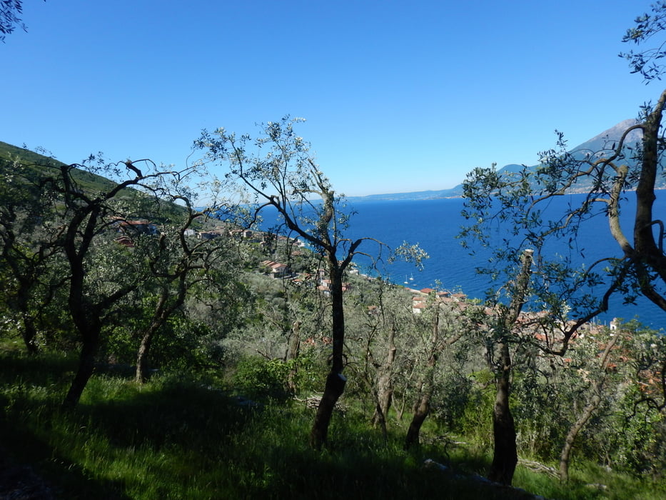
Escursione attraverso strade secondarie e vecchie vie di collegamento adatta a tutti. Versione corta dello spettacolare Tour di Brenzone attraverso il lungo lago e cartteristici Borghi a sud del territorio di Brenzone

Galeria trasy

Mapa trasy i profil wysokości

  • Open Street Map
  • Google
Minimum height 65 m Maximum height 141 m Widok szczegółowy

More about the tour author

Dolomeet
Member since 2018

Send private message

Komentarze

GPS tracks

Trackpoints
  • GPX / Garmin Map Source (gpx) download
  • TCX / Garmin Training Center® (tcx) download
  • CRS / Garmin Training Center® (crs) download
  • Google Earth (kml) download
  • G7ToWin (g7t) download
  • TTQV (trk) download
  • Overlay (ovl) download
  • Fugawi (txt) download
  • Kompass (DAV) Track (tk) download
  • Karta trasy (pdf) download
  • Original file of the author (gpx) download

More about the tour author

Dolomeet
Member since 2018

Send private message
Share track
Add to my favorites
Remove from my favorites
Edit tags
My score
Rate
Trasa: Tour Brenzone Sud
Rodzaj: Rower górski (MTB)
Długość: 6,5 km
Evaluated on:
Czas trwania:
Day(s)
Hour(s)
Minute(s)
Ocena: Krajobraz Czynnik zadowolenia Kondycja Technika