


Es handelt sich um den Tourenvorschlag 1 unseres derzeitigen (2008) Bürgermeisters Christian Staudter.
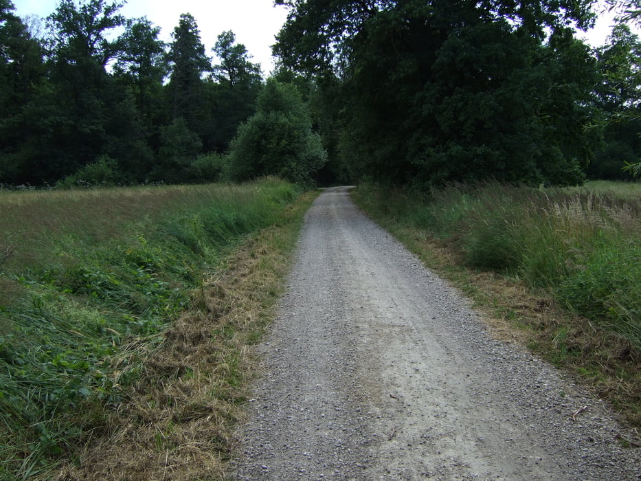
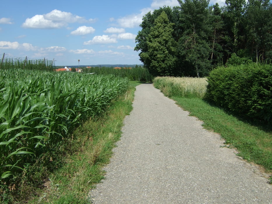
Die Tour verläuft überwiegend auf ebenen Radwegen und gut geschotterten Waldwegen.
Da keine gastronimischen Betriebe auf der Strecke liegen sollte man ausreichend Getränke mit sich führen.
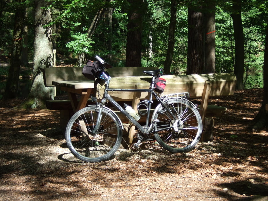
Am Mitterbachl gibt es mitten im Wald einige schöne Teiche, an denen sich ein massiver Tisch mit Bänken befinden, der sich ideal für ein Picknick im Wald eignet.
Galeria trasy

Mapa trasy i profil wysokości
Minimum height 364 m
Maximum height 407 m
More about the tour author

|
amperbauer |
Komentarze

A9 München - Nürnberg: Ausfahrt Langenbruck
Auf der B300 Richtung Regensburg.
Nach ca. 10 km erreichen Sie Geisenfeld.
Die Tour startet am Stadtplatz von Geisenfeld
GPS tracks
Trackpoints-
GPX / Garmin Map Source (gpx) download
-
TCX / Garmin Training Center® (tcx) download
-
CRS / Garmin Training Center® (crs) download
-
Google Earth (kml) download
-
G7ToWin (g7t) download
-
TTQV (trk) download
-
Overlay (ovl) download
-
Fugawi (txt) download
-
Kompass (DAV) Track (tk) download
-
Karta trasy (pdf) download
-
Original file of the author (gpx) download
More about the tour author
|
|
amperbauer |
Add to my favorites
Remove from my favorites
Edit tags
Open track
My score
Rate