Login

Zapomniałeś swój login?

Cookies have to be accepted!
Your browser's cookie functionality is disabled. Please enable this functionality.

Not a member yet?

Register now
Login

Available for registred users only

Log in to use this feature.

Zapomniałeś swój login?

Cookies have to be accepted!
Your browser's cookie functionality is disabled. Please enable this functionality.

Not a member yet?

Register now
Filter
Kategorie
Advanced filters
  • Długość (km)
  • Wysokość
Zapisz filtr Reset filter

TrackRank

QRCode

Technical data

Długość52,1 km Wysokość609 m Way down518 m Czas trwania4 days 0 h Data11.05.2022
Oceny Author Krajobraz Czynnik zadowolenia Kondycja Technika

Statystyka

181 Widoki Oceny 22 Downloads / Pliki do pobrania Przeciętnie
Rate
  • Karta trasy
  • Dojazd
  • Downloads / Pliki do pobrania

Von Seeg zum Forgensee, weiter zum Alatsee und Weizern (Kaffeepause) nach Seeg.

Überwiegend Teerstraßen, seltener Schotterwege.
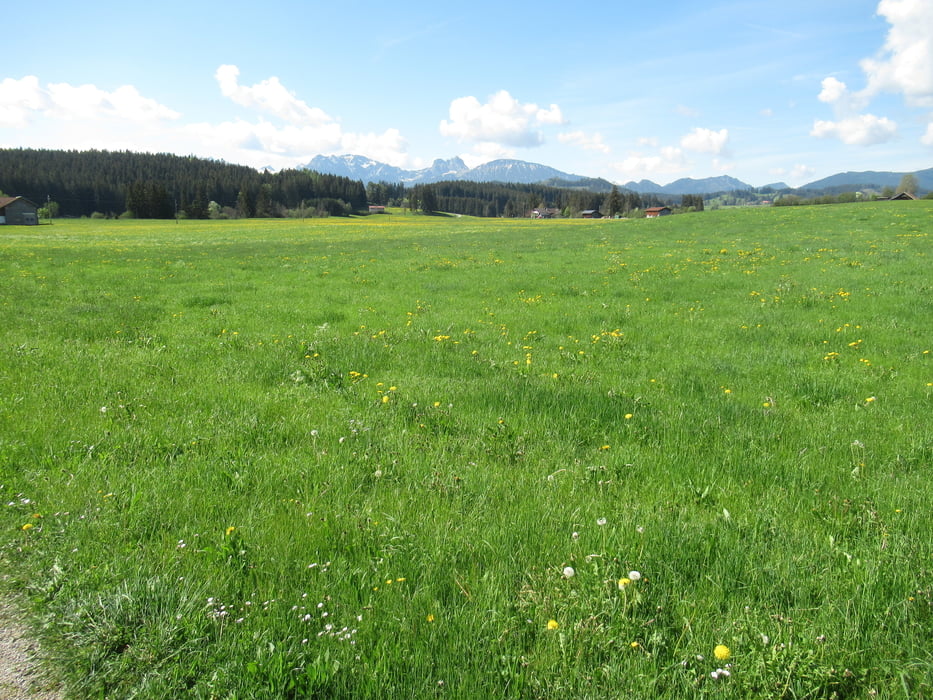
 

Galeria trasy

Mapa trasy i profil wysokości

  • Open Street Map
  • Google
Minimum height 727 m Maximum height 916 m Widok szczegółowy

More about the tour author

tazzo
Member since 2009

Send private message

Komentarze

Nach Seeg per Bahn oder mit dem Auto.

GPS tracks

Trackpoints
  • GPX / Garmin Map Source (gpx) download
  • TCX / Garmin Training Center® (tcx) download
  • CRS / Garmin Training Center® (crs) download
  • Google Earth (kml) download
  • G7ToWin (g7t) download
  • TTQV (trk) download
  • Overlay (ovl) download
  • Fugawi (txt) download
  • Kompass (DAV) Track (tk) download
  • Karta trasy (pdf) download
  • Original file of the author (gpx) download

More about the tour author

tazzo
Member since 2009

Send private message
Share track
Add to my favorites
Remove from my favorites
Edit tags
My score
Rate
Trasa: von Seeg zum Alatsee
Rodzaj: Rower trekkingowy
Długość: 52,1 km
Evaluated on:
Czas trwania:
Day(s)
Hour(s)
Minute(s)
Ocena: Krajobraz Czynnik zadowolenia Kondycja Technika