

- Hin.- und Rückfahrt.
- Start/Ziel: Meran.
- Einrollen auf dem sanft ansteigenden Passerradweg bis St. Martin/Passeier (Schotter/Asfalt).
- Ab St.Martin Anstieg auf Asfalt bis zum Parkplatz. Angenehm ansteigend bis mittelsteil.
- Ab dem Parkplatz auf Forstweg(kompakter Untergrund) bis zur Pfandler Alm.
- Sehr gute Küche.
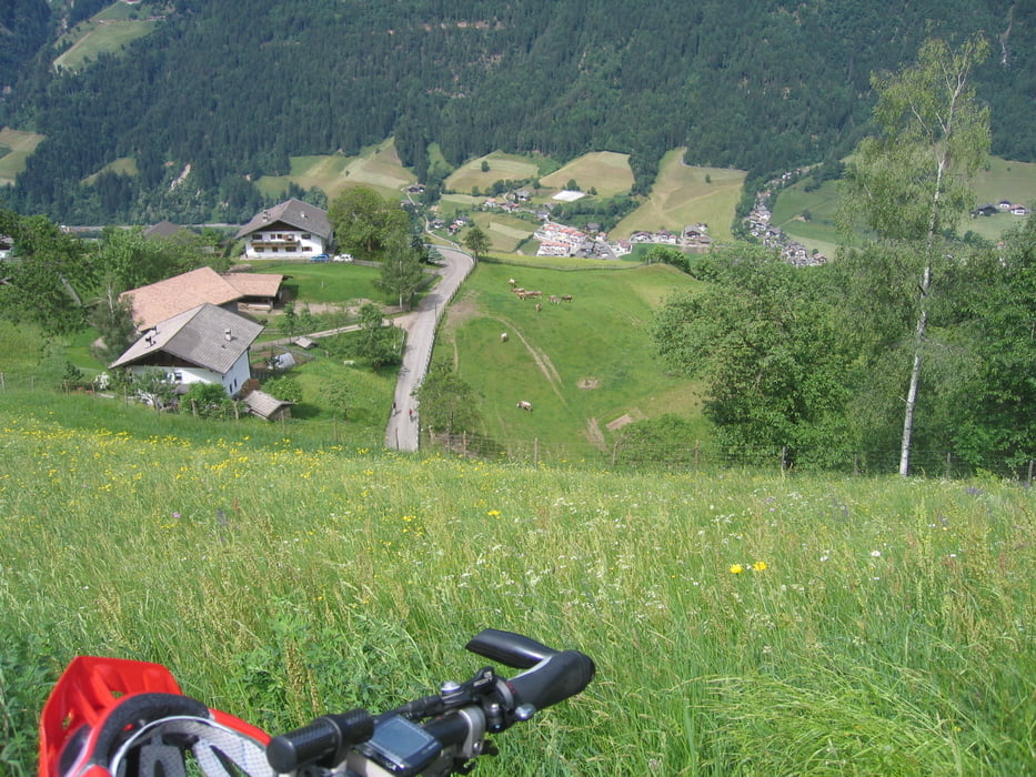
Galeria trasy


Mapa trasy i profil wysokości
Minimum height 314 m
Maximum height 1335 m
More about the tour author
|
|
MargesinFriedrich |
Komentarze

GPS tracks
Trackpoints-
GPX / Garmin Map Source (gpx) download
-
TCX / Garmin Training Center® (tcx) download
-
CRS / Garmin Training Center® (crs) download
-
Google Earth (kml) download
-
G7ToWin (g7t) download
-
TTQV (trk) download
-
Overlay (ovl) download
-
Fugawi (txt) download
-
Kompass (DAV) Track (tk) download
-
Karta trasy (pdf) download
-
Original file of the author (gpx) download
More about the tour author
|
|
MargesinFriedrich |
Add to my favorites
Remove from my favorites
Edit tags
Open track
My score
Rate