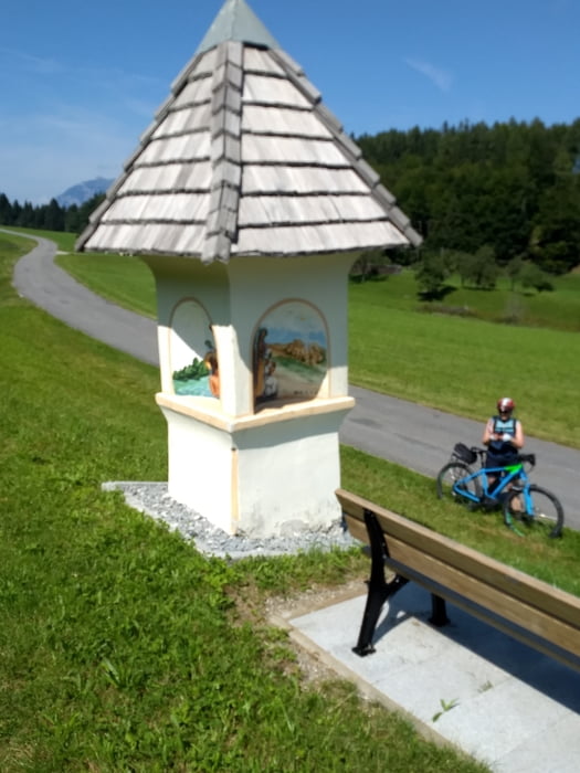
Klassischen Runde um den Herzogstand, speziell für E-bikes, ohne Trage- oder Schiebepassagen.
Man kann in die Runde überall einsteigen, parkteschnisch am Besten in Kochel oder Ohlstadt. Man kann die Runde in beiden Richtungen fahren, ich fahre lieber den Kesselberg bergauf und das Lainbachtal bergab, eine kleine technische Passage.
Mapa trasy i profil wysokości
Minimum height 593 m
Maximum height 912 m
Komentarze

GPS tracks
Trackpoints-
GPX / Garmin Map Source (gpx) download
-
TCX / Garmin Training Center® (tcx) download
-
CRS / Garmin Training Center® (crs) download
-
Google Earth (kml) download
-
G7ToWin (g7t) download
-
TTQV (trk) download
-
Overlay (ovl) download
-
Fugawi (txt) download
-
Kompass (DAV) Track (tk) download
-
Karta trasy (pdf) download
-
Original file of the author (gpx) download
Add to my favorites
Remove from my favorites
Edit tags
Open track
My score
Rate


