Login

Zapomniałeś swój login?

Cookies have to be accepted!
Your browser's cookie functionality is disabled. Please enable this functionality.

Not a member yet?

Register now
Login

Available for registred users only

Log in to use this feature.

Zapomniałeś swój login?

Cookies have to be accepted!
Your browser's cookie functionality is disabled. Please enable this functionality.

Not a member yet?

Register now
Filter
Kategorie
Advanced filters
  • Długość (km)
  • Wysokość
Zapisz filtr Reset filter

TrackRank

QRCode

Technical data

Długość77,4 km Wysokość1959 m Way down1947 m Czas trwania08:40 h:m Data31.07.2022
Oceny Author Krajobraz Czynnik zadowolenia Kondycja Technika

Statystyka

452 Widoki Oceny 14 Downloads / Pliki do pobrania Przeciętnie
Rate
  • Karta trasy
  • Dojazd
  • Downloads / Pliki do pobrania
  • Rundkurs im Uhrzeigersinn.
  • Start/Ziel: Müstair
  • Durch das Val Mora zum Lago Cancano. Weiter zum Lago di Livigno. Hoch zum Passo Gallo. Weiter zum Ofenpass(Auffahrt zum Ofenpass offroad nur mit E-MTB, ansonsten auf der Staatsstrasse. Kurze Abfahrt vom Ofenpass. Auffahrt auf Schotter zum Skigebiet Minschuns. Weiter auf flowigem Steig/Weg nach Lü. Abfahrt Asfalt/Schotter nach Müstair.
  • Ideal für E-MTB.
  • Vorab Infos über Befahrbarkeit einholen!!!!!!
  • Gasthof am Lago di Cancano.
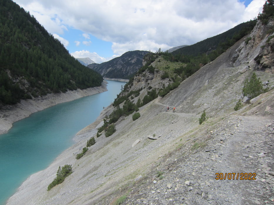
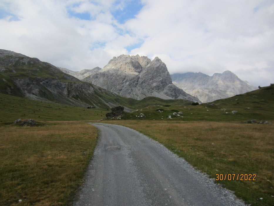
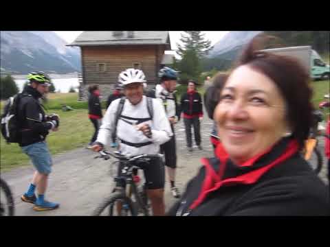
Galeria trasy

Mapa trasy i profil wysokości

  • Open Street Map
  • Google
Minimum height 1291 m Maximum height 2288 m Widok szczegółowy

More about the tour author

MargesinFriedrich
Member since 2012

Send private message

Komentarze

GPS tracks

Trackpoints
  • GPX / Garmin Map Source (gpx) download
  • TCX / Garmin Training Center® (tcx) download
  • CRS / Garmin Training Center® (crs) download
  • Google Earth (kml) download
  • G7ToWin (g7t) download
  • TTQV (trk) download
  • Overlay (ovl) download
  • Fugawi (txt) download
  • Kompass (DAV) Track (tk) download
  • Karta trasy (pdf) download
  • Original file of the author (gpx) download

More about the tour author

MargesinFriedrich
Member since 2012

Send private message
Share track
Add to my favorites
Remove from my favorites
Edit tags
My score
Rate
Trasa: Müstair-Val Mora-Ofenpass-Minschuns-Lü-Müstair.
Rodzaj: Rower górski (MTB)
Długość: 77,4 km
Evaluated on:
Czas trwania:
Day(s)
Hour(s)
Minute(s)
Ocena: Krajobraz Czynnik zadowolenia Kondycja Technika