Login

Zapomniałeś swój login?

Cookies have to be accepted!
Your browser's cookie functionality is disabled. Please enable this functionality.

Not a member yet?

Register now
Login

Available for registred users only

Log in to use this feature.

Zapomniałeś swój login?

Cookies have to be accepted!
Your browser's cookie functionality is disabled. Please enable this functionality.

Not a member yet?

Register now
Filter
Kategorie
Advanced filters
  • Długość (km)
  • Wysokość
Zapisz filtr Reset filter

TrackRank

QRCode

Technical data

Długość52,9 km Wysokość1098 m Way down1095 m Czas trwania03:00 h:m Data06.09.2022
Oceny Author Krajobraz Czynnik zadowolenia Kondycja Technika

Statystyka

108 Widoki Oceny 2 Downloads / Pliki do pobrania Przeciętnie
Rate
  • Karta trasy
  • Dojazd
  • Downloads / Pliki do pobrania
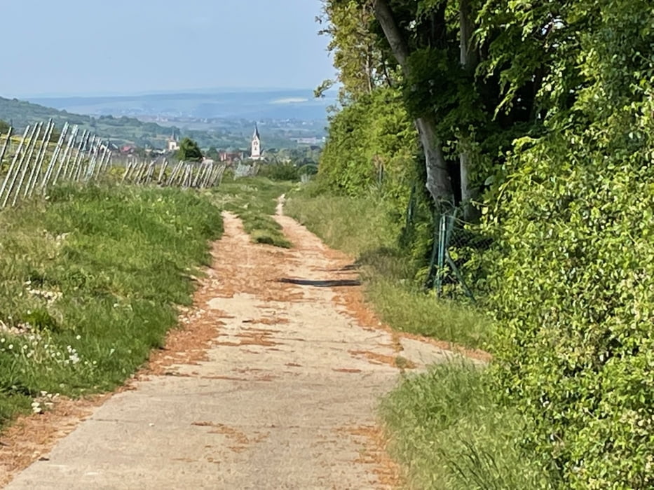
Vom Schiersteiner Hafen über Frauenstein auf die Hohe Wurzel, dann runter nach Schlangenbad und wieder rauf zur Kammhöhe des Rheingaus, dort ein wenig entlang, dann runter zum Kloster Eberbach, weiter nach Kiedrich und schließlich über Rauenthal zurück nach Schierstein. Überwiegend Waldwege, auch ein paar Singletrails, optimale Höhenquote ... 

Galeria trasy

Mapa trasy i profil wysokości

  • Open Street Map
  • Google
Minimum height 86 m Maximum height 603 m Widok szczegółowy

More about the tour author

Telebike
Member since 2008

Send private message

Komentarze

Schiersteiner Hafen

GPS tracks

Trackpoints
  • GPX / Garmin Map Source (gpx) download
  • TCX / Garmin Training Center® (tcx) download
  • CRS / Garmin Training Center® (crs) download
  • Google Earth (kml) download
  • G7ToWin (g7t) download
  • TTQV (trk) download
  • Overlay (ovl) download
  • Fugawi (txt) download
  • Kompass (DAV) Track (tk) download
  • Karta trasy (pdf) download
  • Original file of the author (gpx) download

More about the tour author

Telebike
Member since 2008

Send private message
Share track
Add to my favorites
Remove from my favorites
Edit tags
My score
Rate
Trasa: Tausi im Rheingau
Rodzaj: Rower górski (MTB)
Długość: 52,9 km
Evaluated on:
Czas trwania:
Day(s)
Hour(s)
Minute(s)
Ocena: Krajobraz Czynnik zadowolenia Kondycja Technika