

- Rundkurs im Uhrzeigersinn. Kann auch gegen den Uhrzeigersinn gefahren werden.
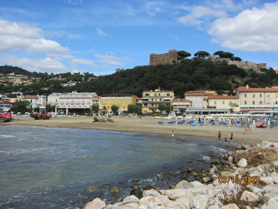
- Start/Ziel: Castiglione della Pescaia/Camping Sans Souci.
- Bis KM 16,3 - MH 158 Asfalt, kaum Verkehr.
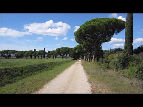
- Bis KM 20,8 - MH 123 Schotter, kompakt.
- Bis KM 25,2 - MH 410 Asfalt, kaum Verkehr bis zum Bergdorf Vetulonia. Schöner Rundum-Blick.
- Bis KM 35 - MH 143 Asfalt, kaum Verkehr.
- Bis KM 43 - MH 107 Schotter. Kurze Abschnitte Karrenweg.
- Bis KM 54,5- MH 00 Asfalt. Kaum Verkehr.
- Wir sind die Tour mit dem E-MTB gefahren.
- Die Anstiege sind angenehm/mittelsteil.
Galeria trasy


Mapa trasy i profil wysokości
Minimum height 89 m
Maximum height 419 m
More about the tour author
|
|
MargesinFriedrich |
Komentarze

GPS tracks
Trackpoints-
GPX / Garmin Map Source (gpx) download
-
TCX / Garmin Training Center® (tcx) download
-
CRS / Garmin Training Center® (crs) download
-
Google Earth (kml) download
-
G7ToWin (g7t) download
-
TTQV (trk) download
-
Overlay (ovl) download
-
Fugawi (txt) download
-
Kompass (DAV) Track (tk) download
-
Karta trasy (pdf) download
-
Original file of the author (gpx) download
More about the tour author
|
|
MargesinFriedrich |
Add to my favorites
Remove from my favorites
Edit tags
Open track
My score
Rate