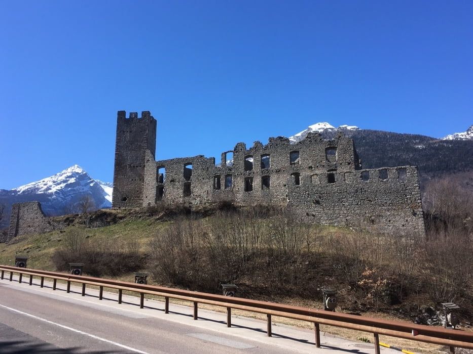
Längere Tour ohne viel Höhenmeter. Der Großteil auf Radweg, der Rest auf nicht allzuviel befahrener Straße mit flotter Abfahrt von Fai di Paganella nach Mezzocorona.
Die Steigung nach Andalo ist moderat.
Further information at
https://www.suedtirol.info/deGaleria trasy
Mapa trasy i profil wysokości
Minimum height 227 m
Maximum height 1167 m
Komentarze

https://www.google.com/maps/@46.4945278,11.3911252,185m/data=!3m1!1e3
GPS tracks
Trackpoints-
GPX / Garmin Map Source (gpx) download
-
TCX / Garmin Training Center® (tcx) download
-
CRS / Garmin Training Center® (crs) download
-
Google Earth (kml) download
-
G7ToWin (g7t) download
-
TTQV (trk) download
-
Overlay (ovl) download
-
Fugawi (txt) download
-
Kompass (DAV) Track (tk) download
-
Karta trasy (pdf) download
-
Original file of the author (gpx) download
Add to my favorites
Remove from my favorites
Edit tags
Open track
My score
Rate


