


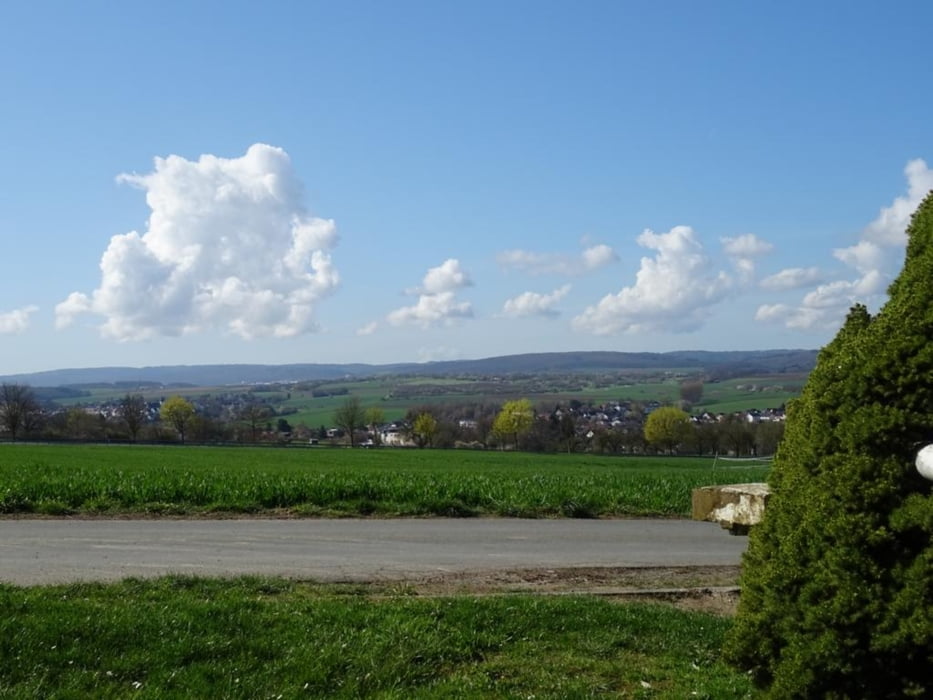
von Bahnhof zur Bad Camberger Altstadt, weiter durch den Kurpark auf die Höhe mit herrlichen Weitsichten, über die Höhe geht's weiter an veschiedenen Bauernhöfen vorbei, dann durch den Wald zum Alsdorfer Weiher, am Waldrand entlang geht es weiter am Hotel Waldschloss vorbei und durch den Kurpark zurück nach Bad Camberg
Further information at
https://sonntagswandern.de/bad-camberger-rundweg-9-14-april-2023/Galeria trasy
Mapa trasy i profil wysokości
Minimum height 185 m
Maximum height 337 m
More about the tour author

|
Sonntagswanderin |
Komentarze

mit der Regio-Bahn nach Bad Camberg oder über die A3 und die Abfahrt Bad Camberg nehmen
GPS tracks
Trackpoints-
GPX / Garmin Map Source (gpx) download
-
TCX / Garmin Training Center® (tcx) download
-
CRS / Garmin Training Center® (crs) download
-
Google Earth (kml) download
-
G7ToWin (g7t) download
-
TTQV (trk) download
-
Overlay (ovl) download
-
Fugawi (txt) download
-
Kompass (DAV) Track (tk) download
-
Karta trasy (pdf) download
-
Original file of the author (gpx) download
More about the tour author
|
|
Sonntagswanderin |
Add to my favorites
Remove from my favorites
Edit tags
Open track
My score
Rate