


- Rundkurs im Uhrzeigersinn.
- Start/Ziel: Caldonazzo(Caldonazzo See/Valsugana/Trentino).
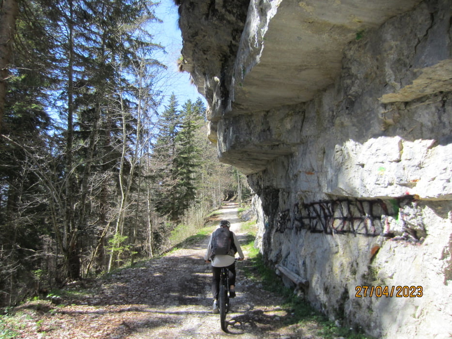
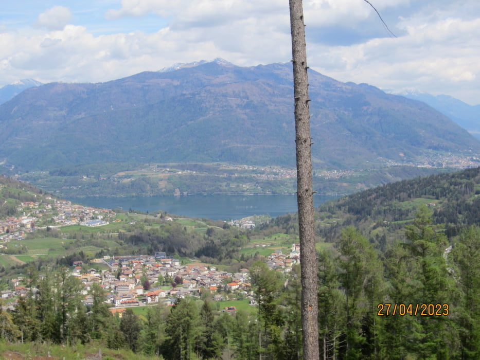
- Von Caldonazzo (MH 491) auf der kaum befahrenen, stellenweise in den Fels gehauenen, asfaltierten Kaiserjägerstrasse(erbaut von den K&K Kaiserjägern 1915) bis zum Monteverde (KM 11,2 - MH 1.262). Durchshnittliche Steigung: 9,4%. Kurze Abschnitte: 15%. Herrlicher Blick auf den Caldonazzosee und das Valsugana Tal.
- HOCHEBENE VON LAVARONE.
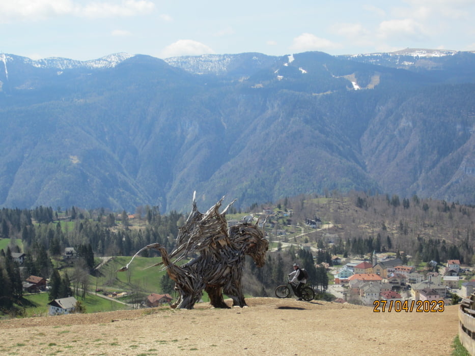
- Weiter auf Schotter bis zum hölzernen Drachen (KM 15 - MH 1.350).
- Weiter auf Provinzstrasse nach Magre`, Cappella bis(KM 22,5 - MH 1.080).
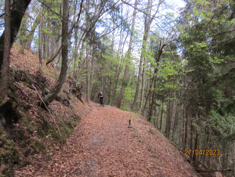
- Weiter auf dem MTB-Track nr. 851 auf Asfalt, Schotterwegen, flowigen Karrenwegen(vorwiegend S1) über Vattaro zurück nach Caldonazzo(KM42,7 - MH 491).
- Wir sind die Tour mit dem E-MTB gefahren.
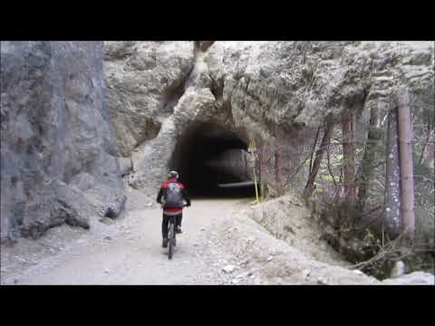
- Bergwärts einige kurze Gallerien(Rad-Beleuchtung!!!!!)
- In der Abfahrt wird die einzige Gallerie umfahren.
- Mehrere Wasserstellen und Einkehrmöglichkeiten.
Galeria trasy
Mapa trasy i profil wysokości
Minimum height 430 m
Maximum height 1363 m
More about the tour author
|
|
MargesinFriedrich |
Komentarze

GPS tracks
Trackpoints-
GPX / Garmin Map Source (gpx) download
-
TCX / Garmin Training Center® (tcx) download
-
CRS / Garmin Training Center® (crs) download
-
Google Earth (kml) download
-
G7ToWin (g7t) download
-
TTQV (trk) download
-
Overlay (ovl) download
-
Fugawi (txt) download
-
Kompass (DAV) Track (tk) download
-
Karta trasy (pdf) download
-
Original file of the author (gpx) download
More about the tour author
|
|
MargesinFriedrich |
Add to my favorites
Remove from my favorites
Edit tags
Open track
My score
Rate