
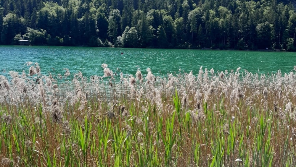

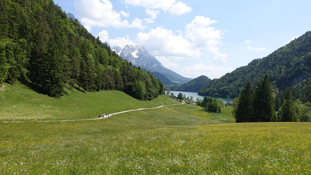
Schöne Wanderung rund um den auch durch die Fernsehserie „Der Bergdoktor“ bekennten Hintersteiner See.
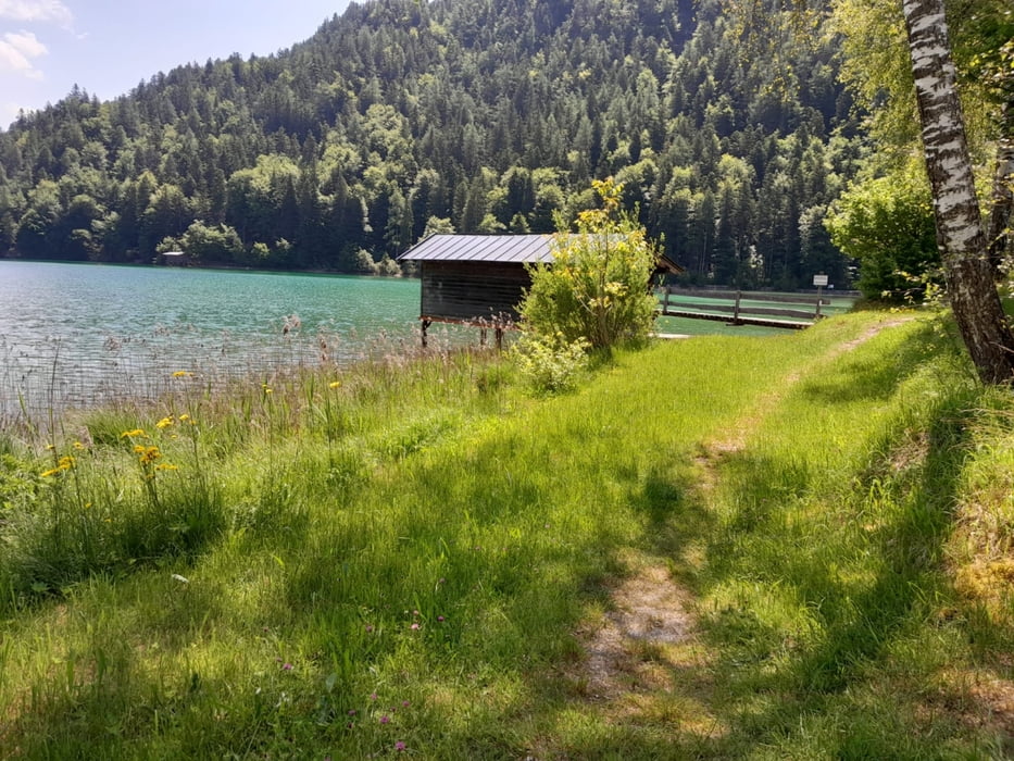
Vom Parkplatz geht es auf asphaltierter Straße dem Nordufer entlang. Immer wieder tun sich herrliche Ausblicke auf den See und sein kristallklares Wasser auf. Auf der Südseite schließlich auf einem Stein- und Wurzelweg auf- und absteigend zurück zum Parkplatz. Unser Ziel war hier noch nicht erreicht; weil der Parkplatz voll war hatten wir noch ein Stück Weg vor uns.
Hinweise: Leichte Wandertour. Nur das Nordufer ist Kinderwagengeeignet. Anreise mit Bus ab Scheffau möglich.
Start/Ziel: Parkplatz am See
Einkehrmöglichkeit: Jausenstation Goingstätt
Galeria trasy


Mapa trasy i profil wysokości
Minimum height 882 m
Maximum height 943 m
More about the tour author

|
ejee |
Komentarze

GPS tracks
Trackpoints-
GPX / Garmin Map Source (gpx) download
-
TCX / Garmin Training Center® (tcx) download
-
CRS / Garmin Training Center® (crs) download
-
Google Earth (kml) download
-
G7ToWin (g7t) download
-
TTQV (trk) download
-
Overlay (ovl) download
-
Fugawi (txt) download
-
Kompass (DAV) Track (tk) download
-
Karta trasy (pdf) download
-
Original file of the author (gpx) download
More about the tour author
|
|
ejee |
Add to my favorites
Remove from my favorites
Edit tags
Open track
My score
Rate