Login

Zapomniałeś swój login?

Cookies have to be accepted!
Your browser's cookie functionality is disabled. Please enable this functionality.

Not a member yet?

Register now
Login

Available for registred users only

Log in to use this feature.

Zapomniałeś swój login?

Cookies have to be accepted!
Your browser's cookie functionality is disabled. Please enable this functionality.

Not a member yet?

Register now
Filter
Kategorie
Advanced filters
  • Długość (km)
  • Wysokość
Zapisz filtr Reset filter

TrackRank

QRCode

Technical data

Długość10,4 km Wysokość683 m Way down617 m Czas trwania00:00 h:m Data23.06.2023
Oceny Author Krajobraz Czynnik zadowolenia Kondycja Technika

Statystyka

237 Widoki Oceny 2 Downloads / Pliki do pobrania Przeciętnie
Rate
  • Karta trasy
  • Dojazd
  • Downloads / Pliki do pobrania
Mitunter sehr leicht, aber auch mit sehr steilen Passagen die gerade bei feuchten Wegen unbedingt Trittsicherheit erfordern. Kritische Stellen sind größtenteils mit einer Stahlseilsicherung versehen, ein Klettersteigset ist dabei aber nicht erforderlich. Ingesamt sehr schöne Tour die konditionell schon fordernd ist, wobei man die Anstrengung sofort vergisst wenn man die Rappenseehütte mit schöner Terrasse erblickt.
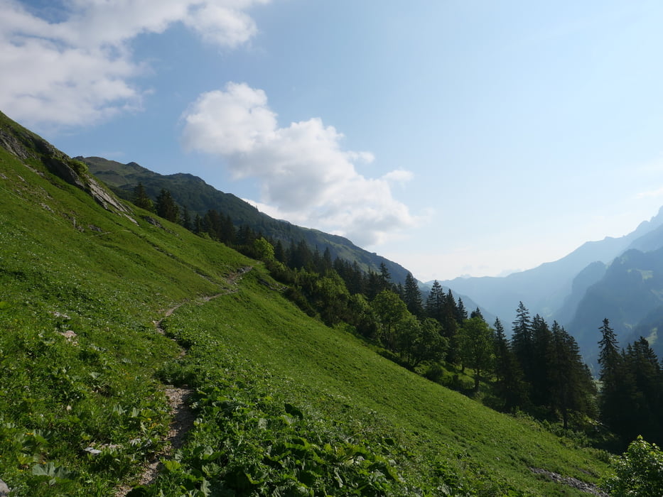
Galeria trasy

Mapa trasy i profil wysokości

  • Open Street Map
  • Google
Minimum height 1524 m Maximum height 2089 m Widok szczegółowy

More about the tour author

revvot
Member since 2017

Send private message

Komentarze

GPS tracks

Trackpoints
  • GPX / Garmin Map Source (gpx) download
  • TCX / Garmin Training Center® (tcx) download
  • CRS / Garmin Training Center® (crs) download
  • Google Earth (kml) download
  • G7ToWin (g7t) download
  • TTQV (trk) download
  • Overlay (ovl) download
  • Fugawi (txt) download
  • Kompass (DAV) Track (tk) download
  • Karta trasy (pdf) download
  • Original file of the author (gpx) download

More about the tour author

revvot
Member since 2017

Send private message
Share track
Add to my favorites
Remove from my favorites
Edit tags
My score
Rate
Trasa: Mindelheimer Hütte - Schrofenpass - Rappenseehütte
Rodzaj: Wędrówki
Długość: 10,4 km
Evaluated on:
Czas trwania:
Day(s)
Hour(s)
Minute(s)
Ocena: Krajobraz Czynnik zadowolenia Kondycja Technika