


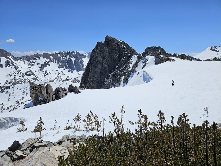
Tour im Rekordschneejahr 2023, normalerweise wohl 2-4 Wochen früher die gleichen Verhältnisse.
Zunächst auf Langlauf / snowmobile tracks zum Lake Mary. Weiter durrch lichten Wald in etwa dem Cold Water Creek folgen bis auf etwas über 3000 m. Hier hat man die Wahl zwischen verschiedenen Anstiegen zur Mammoth Crest. Wir wählten die Bowl rechterhand vom Blue Crag, für die wir in Karte und Literatur keinen Namen fanden, also Blue Crag Bowl tauften. Diese ca. 35° steil empor zurm Grat. Oben ein kleies Stückchen weiter zu unbdeutendem Gipfel. Von hier direkte Abfahrt ins Blue Couloir möglich. Abfahrt wie Aufstieg oder etwas rechtshaltend davon.
Galeria trasy


Mapa trasy i profil wysokości
Minimum height 2581 m
Maximum height 3345 m

Komentarze

Von Mammoth zum Tamarack Cross Country Ski center an den Twin Lakes
GPS tracks
Trackpoints-
GPX / Garmin Map Source (gpx) download
-
TCX / Garmin Training Center® (tcx) download
-
CRS / Garmin Training Center® (crs) download
-
Google Earth (kml) download
-
G7ToWin (g7t) download
-
TTQV (trk) download
-
Overlay (ovl) download
-
Fugawi (txt) download
-
Kompass (DAV) Track (tk) download
-
Karta trasy (pdf) download
-
Original file of the author (gpx) download
Add to my favorites
Remove from my favorites
Edit tags
Open track
My score
Rate