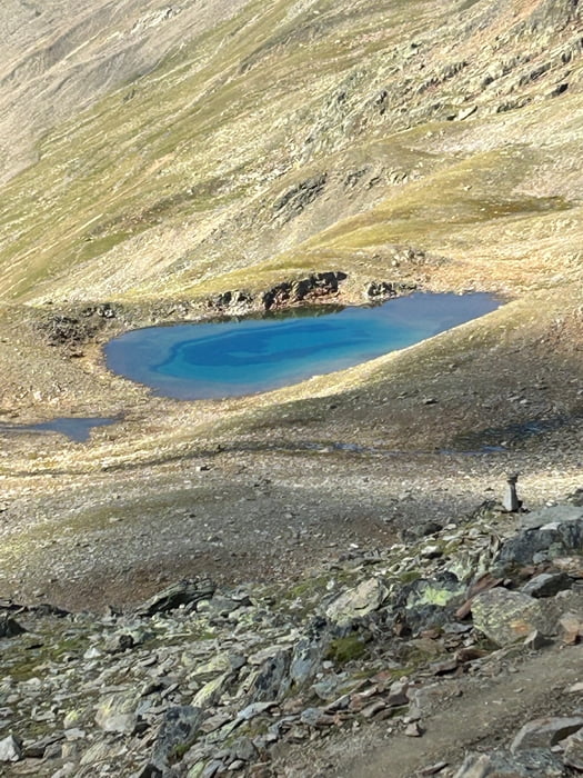
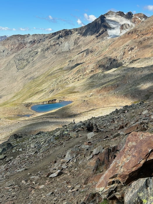
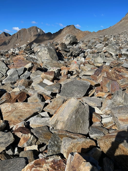
Direkt gegenüber der Martin-Busch-Hütte geht es stetig ansteigend, aber technisch nicht anspruchsvoll den Gipfel entgegen. Leider musste ich etwa 300 Höhenmeter vorm Gipfel aus gesundheitlichen Gründen abbrechen. also gleichen weg zurück und einen breiten Weg ins Tal nach Vent. Wie es die letzten 300hm weitergeht weiß ich nicht, zumindest sah es soweit ich es beurteilen kann nicht sonderlich schwierig aus.
Galeria trasy
Mapa trasy i profil wysokości
Minimum height 1891 m
Maximum height 3131 m
Komentarze

GPS tracks
Trackpoints-
GPX / Garmin Map Source (gpx) download
-
TCX / Garmin Training Center® (tcx) download
-
CRS / Garmin Training Center® (crs) download
-
Google Earth (kml) download
-
G7ToWin (g7t) download
-
TTQV (trk) download
-
Overlay (ovl) download
-
Fugawi (txt) download
-
Kompass (DAV) Track (tk) download
-
Karta trasy (pdf) download
-
Original file of the author (gpx) download
Add to my favorites
Remove from my favorites
Edit tags
Open track
My score
Rate


