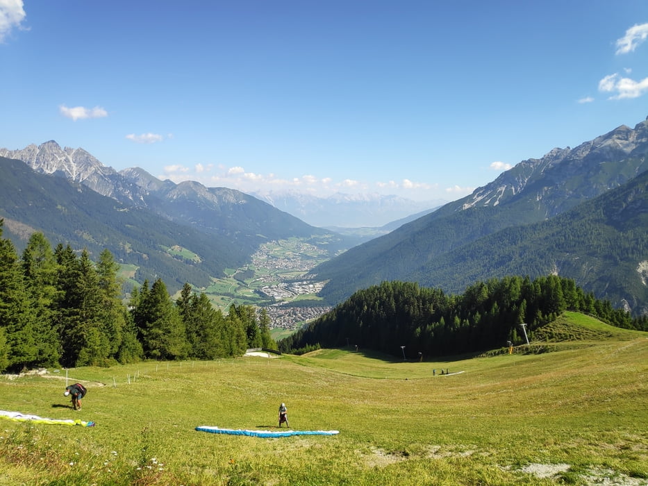
Vom Parkplatz des Elferlifts in Neustift über die Bergstation zur Elferhütte. Von dort weiter über den Panoramaweg und alsbald wieder hinab zur Pinnisalm. Durch das Pinnistal vorbei an der Issenangeralm zürück zum Ausgangspunkt.
Galeria trasy
Mapa trasy i profil wysokości
Minimum height 983 m
Maximum height 2137 m
Komentarze

Start und Ziel ist der Parkplatz des Elferlifts in Neustift
GPS tracks
Trackpoints-
GPX / Garmin Map Source (gpx) download
-
TCX / Garmin Training Center® (tcx) download
-
CRS / Garmin Training Center® (crs) download
-
Google Earth (kml) download
-
G7ToWin (g7t) download
-
TTQV (trk) download
-
Overlay (ovl) download
-
Fugawi (txt) download
-
Kompass (DAV) Track (tk) download
-
Karta trasy (pdf) download
-
Original file of the author (gpx) download
Add to my favorites
Remove from my favorites
Edit tags
Open track
My score
Rate


