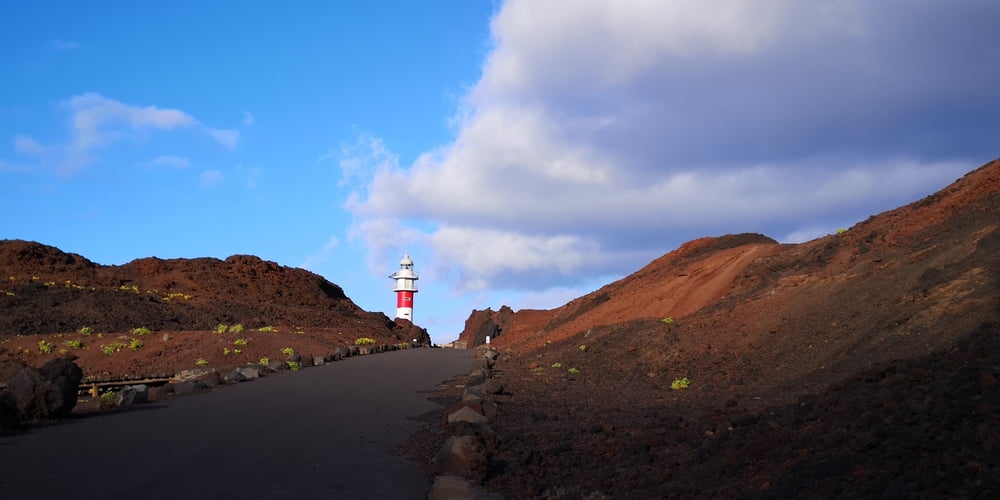
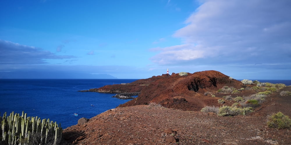
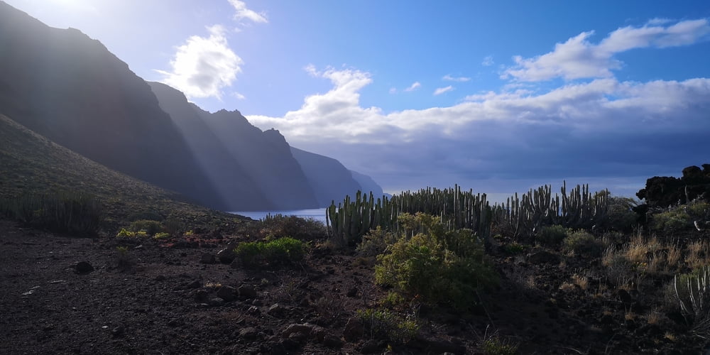
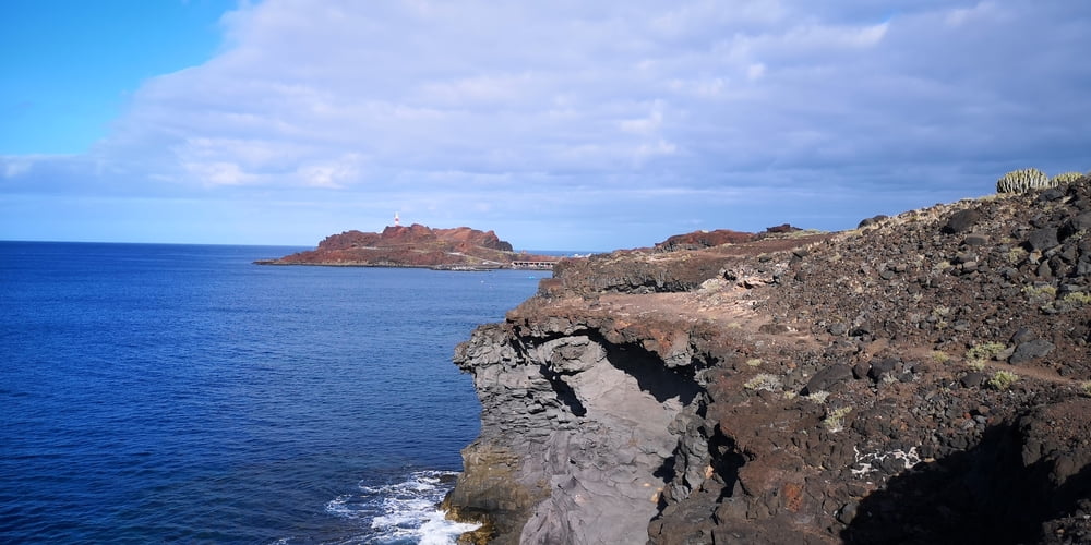
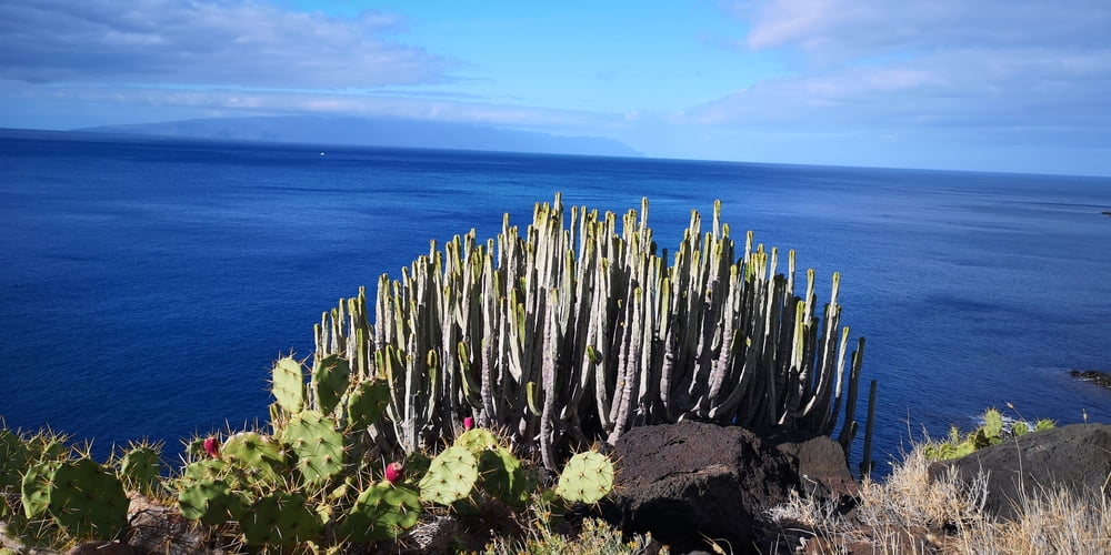
Eine Wanderung am Ende der Insel. Besonders schön am Morgen wenn noch nicht viele Besucher am Leuchtturm sind. Kommt man mit dem Auto ist man eh früh dran denn die Zufahrt ist ab 10:00 für den Individualverkehr gesperrt. Sonst kommt man nur mit dem Bus dorthin. Das gute daran ist dass man aber immer zurückfahren kann. D.h. auch nach 10:00 Uhr.
Von 1. Oktober bis 30. Juni ist die Straße TF-445 von Buenavista kommend zur Punta de Teno von 10.00-19.00 Uhr mit einer Schranke für den Verkehr gesperrt. Im Sommer wird das nochmal von 09.00-20.00 Uhr verlängert. Das heißt, ein Besuch mit dem Auto ist nur davor oder danach möglich. Die Zeiten gelten von Montag bis Donnerstag, am Wochenende ab Freitag 10.00 Uhr (Sommer: 9.00 Uhr) bis Sonntag 19.00 Uhr (Sommer: 20.00 Uhr) bleibt die Schranke komplett geschlossen.
Neben der Wanderung (kein Schatten, keine Höhenmeter) sind noch hervorzuheben:
-
Leuchtturm
-
Bademöglichkeit
-
Blick entlang der Küste Los Gigantes
-
Blick hinüber zur Nachbarinsel La Gomera
-
Die schmale Anfahrtsstraße zum Leuchtturm
Galeria trasy
Mapa trasy i profil wysokości
Komentarze

Von Buenavista del Norte nach Punta de Teno zum Leuchtturm fahren. Zufahrtbeschränkungen beachten!
GPS tracks
Trackpoints-
GPX / Garmin Map Source (gpx) download
-
TCX / Garmin Training Center® (tcx) download
-
CRS / Garmin Training Center® (crs) download
-
Google Earth (kml) download
-
G7ToWin (g7t) download
-
TTQV (trk) download
-
Overlay (ovl) download
-
Fugawi (txt) download
-
Kompass (DAV) Track (tk) download
-
Karta trasy (pdf) download
-
Original file of the author (gpx) download

