


Wanderung zum Prinzensee mit herrlichem Panoramablick. Auf dem Rückweg entlang dem Waldrutschenpark.
Hinweise: Mittelschwere Wandertour.
Route: Parkplatz – Prinzensee-Natrun – TOM Almhütte – Waldrutschenpark – Parkplatz
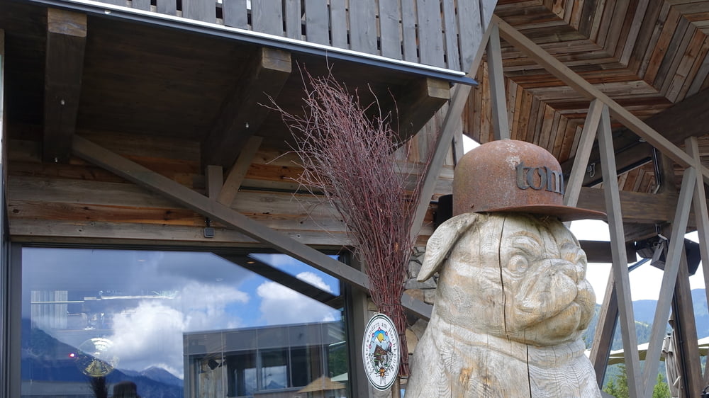
Einkehrmöglichkeit: TOM Almhütte
POI:
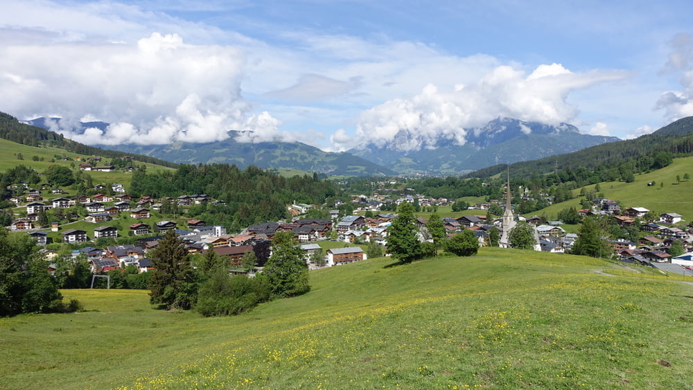
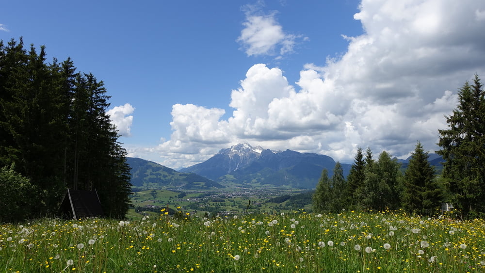
1) Der Natrun ist ein 1253 m hoher Berg in der Gemeinde Maria Alm am Steinernen Meer.
2) Am Gipfel befindet sich ein Wasserspeicher für die künstliche Beschneiung, der als Prinzensee bezeichnet wird. (Quelle 1 + 2: Wikipedia)
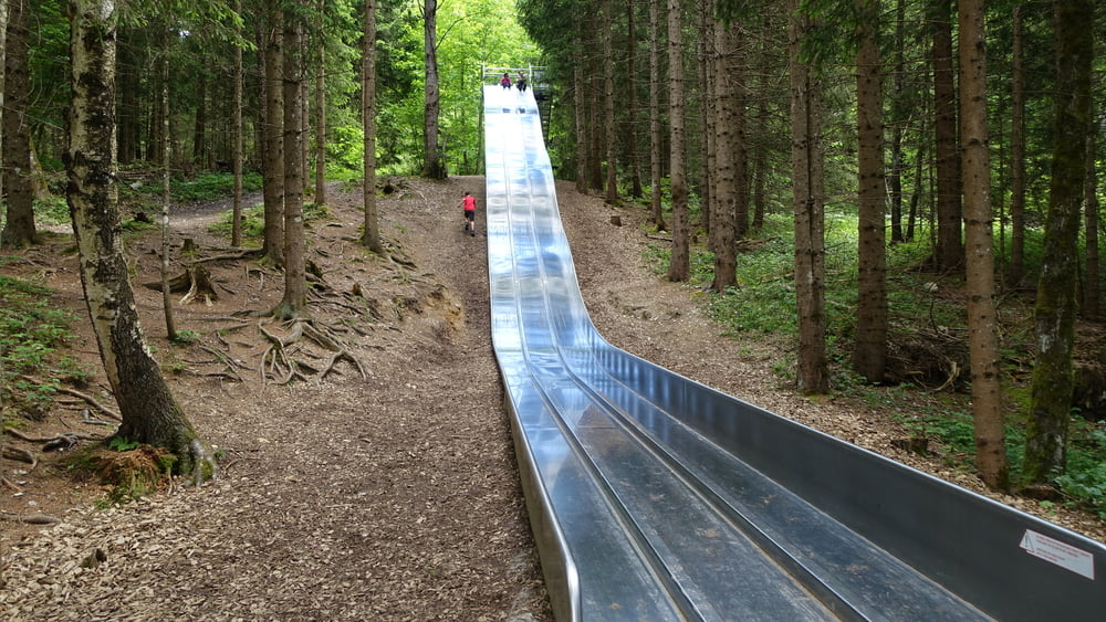
3) Der Waldrutschenpark bietet Rutsch-Attraktionen mit insgesamt mehr als 200 m Rutschstrecke. Fünf Edelstahlrutschen befördern Rutschfans auf die wohl lustigste Weise von der Bergstation bis zur Postalm nach unten. In den bis zu 55 m langen Rutschen sind Bullaugen eingefasst, welche die Kurvensicht erhöhen. (Quelle: www.hochkoenig.at/de/infrastruktur/maria-alm-waldrutschenpark-natrun.html)
Bitte beachten:
Meine Touren sind zum Benutzen für GPS-Geräte gedacht. Die Wegbeschreibung (Route) stellt nur einen groben Überblick über die Tour zum Zeitpunkt der Tourerstellung dar. Ohne GPS-Gerät ist der Streckenverlauf oftmals schwierig zu finden. Wegegebote und behördliche Einschränkungen sind eigenverantwortlich zu beachten.
Galeria trasy
Mapa trasy i profil wysokości
Minimum height 795 m
Maximum height 1249 m
More about the tour author

|
ejee |
Komentarze

GPS tracks
Trackpoints-
GPX / Garmin Map Source (gpx) download
-
TCX / Garmin Training Center® (tcx) download
-
CRS / Garmin Training Center® (crs) download
-
Google Earth (kml) download
-
G7ToWin (g7t) download
-
TTQV (trk) download
-
Overlay (ovl) download
-
Fugawi (txt) download
-
Kompass (DAV) Track (tk) download
-
Karta trasy (pdf) download
-
Original file of the author (gpx) download
More about the tour author
|
|
ejee |
Add to my favorites
Remove from my favorites
Edit tags
Open track
My score
Rate