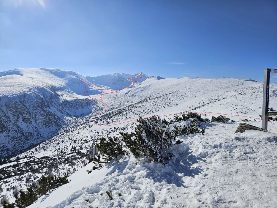
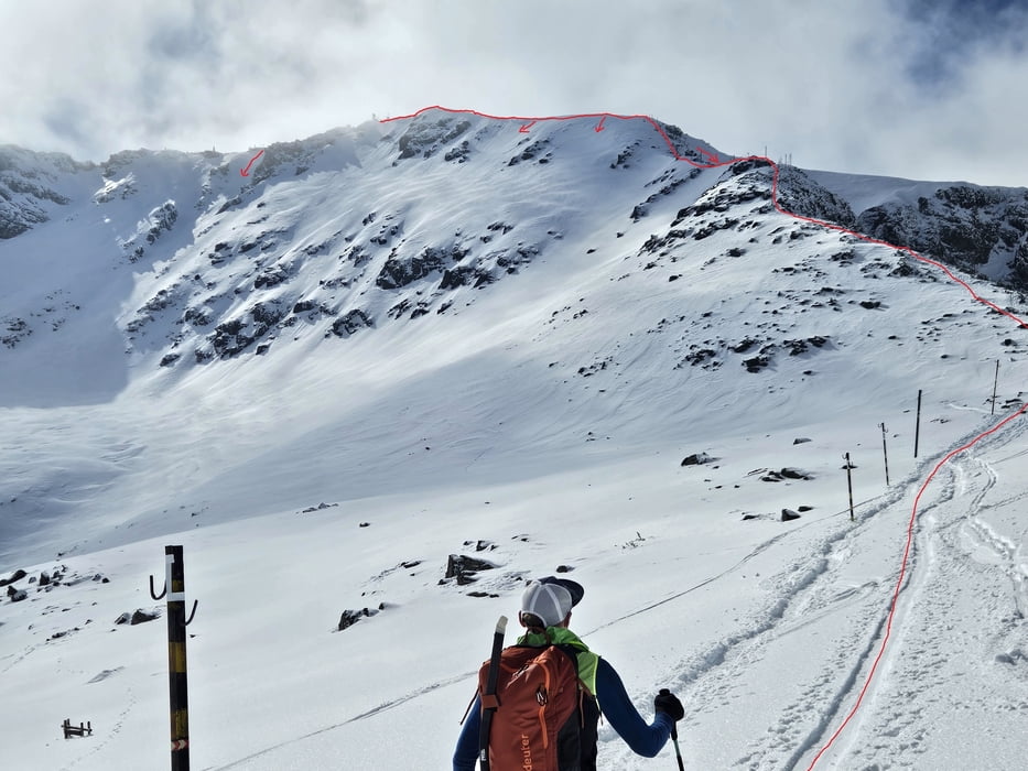
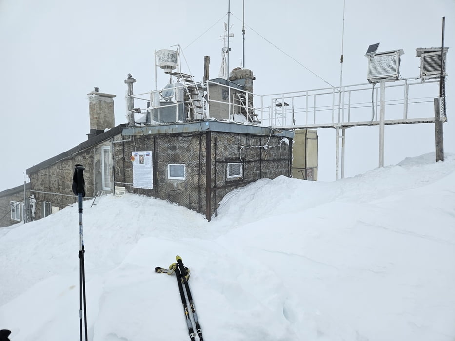
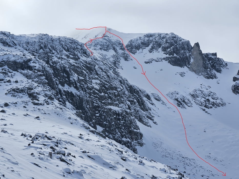
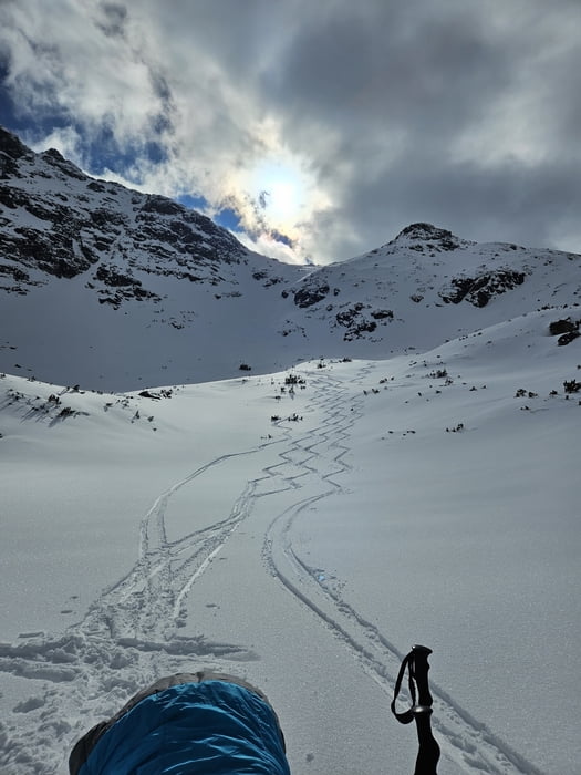
Von Borovets mit der Seilbahn zur Yastrebets Gipfelstation. Achtung an der Talstation oft lange Schlangen am Ticketschalter. Nicht zu spät kommen. Abfahrt auf der Piste zur Liftstation Markudschik 2. Hier auffellen und dem Tal nach Süden folgen. An der geschlossenen Musala Hütte vorbei und über eine Steilstufe rechts hinauf zum Alekovo Ezero und weiter nach SO ansteigen zum Ledenoto Ezero Biwak. Von hier über den Grat den Markierungsstangen folgend bis zum Gipfel. wo der Grat steiler wird befindet sich ein Skidepot, Es ist aber auch möglich den Grat mit Ski an den Füßen oder auf dem Rücken zu bezwingen um eine der Abfahrtsvarianten vom Gipfel zu nehmen. Da die südliche Varainte im Nebel lag entschieden wir uns für das , was uns nach kurzer Querung über den Aufsteigsweg direkt zu einer weiteren Abfahrtsvariante auf 2600 m bringt. Hinab bi in die Nähe der Musala Hütte. Nun nochmals rechts hinauf um eine kleine Rinne am für die Abfahrt zu nutzen. Noch schöner wäre bei guter Sicht ein Aufstieg auf den Gipfel und die Abfahrt über eine etwas weiter nördlich gelgene Rinne (im Aufstieg die beste Route durch die Felsen merken). Nun dem Tal ins Skigebiet folgen und über die Piste direkt hinab bis nach Borovets.
Galeria trasy
Mapa trasy i profil wysokości
Minimum height 1330 m
Maximum height 2965 m
Komentarze

Von Sofia über Samokov nach Borovets
GPS tracks
Trackpoints-
GPX / Garmin Map Source (gpx) download
-
TCX / Garmin Training Center® (tcx) download
-
CRS / Garmin Training Center® (crs) download
-
Google Earth (kml) download
-
G7ToWin (g7t) download
-
TTQV (trk) download
-
Overlay (ovl) download
-
Fugawi (txt) download
-
Kompass (DAV) Track (tk) download
-
Karta trasy (pdf) download
-
Original file of the author (gpx) download
Add to my favorites
Remove from my favorites
Edit tags
Open track
My score
Rate

