Login

Zapomniałeś swój login?

Cookies have to be accepted!
Your browser's cookie functionality is disabled. Please enable this functionality.

Not a member yet?

Register now
Login

Available for registred users only

Log in to use this feature.

Zapomniałeś swój login?

Cookies have to be accepted!
Your browser's cookie functionality is disabled. Please enable this functionality.

Not a member yet?

Register now
Filter
Kategorie
Advanced filters
  • Długość (km)
  • Wysokość
Zapisz filtr Reset filter

TrackRank

QRCode

Technical data

Długość12,6 km Wysokość1116 m Way down1117 m Czas trwania03:15 h:m Data12.03.2024
Oceny Author Krajobraz Czynnik zadowolenia Kondycja Technika

Statystyka

38 Widoki Oceny 0 Downloads / Pliki do pobrania Przeciętnie
Rate
  • Karta trasy
  • Dojazd
  • Downloads / Pliki do pobrania
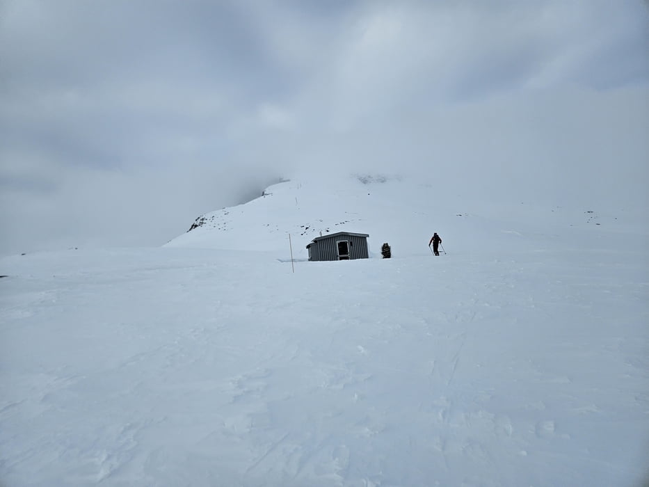
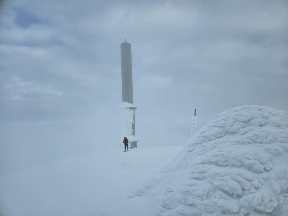
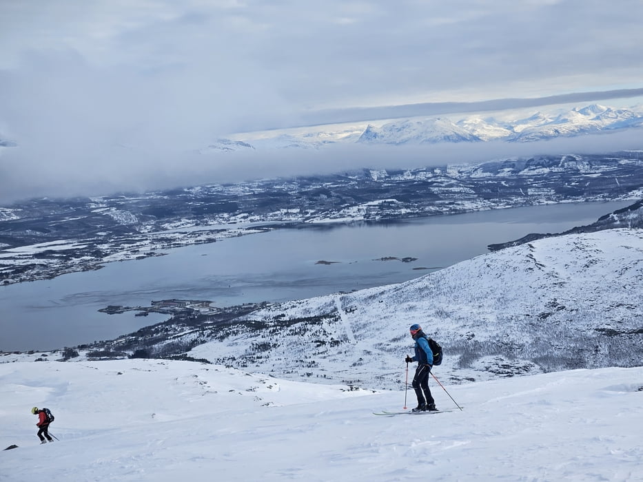
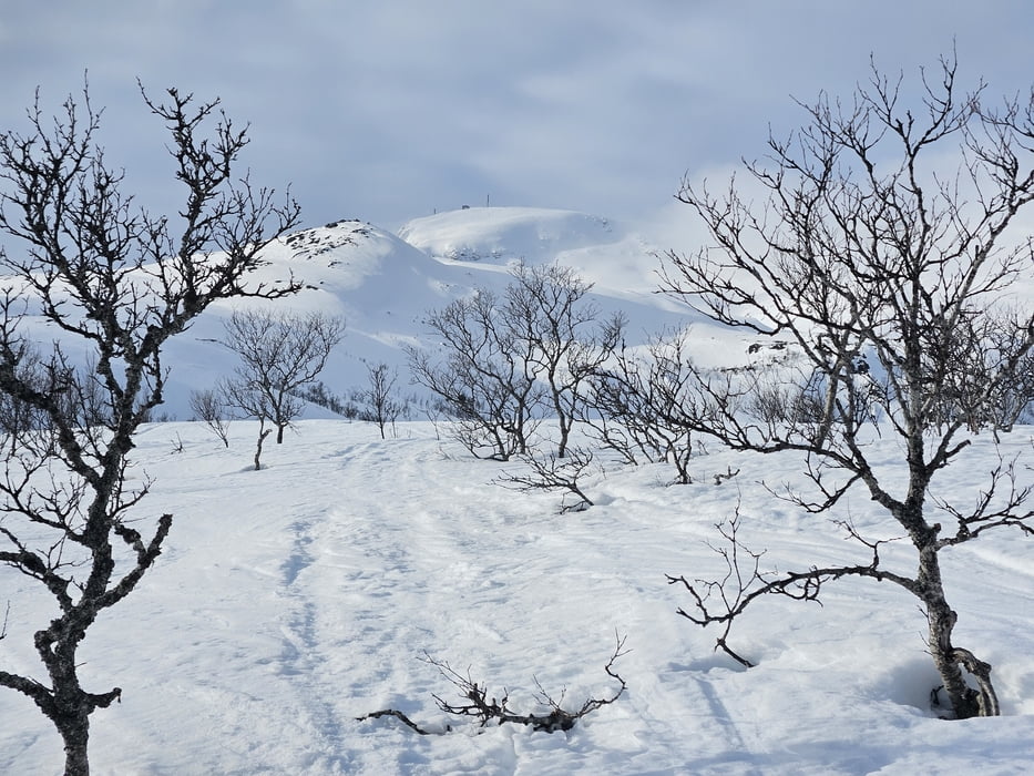
Unsere Letzte tour auf der Rückreise. Gut auch als Eingehtour geeignet. Vom Sportplatz zunächst die Langlaufloipe entlang und weiter über den seichten Rücken zu Militärhütte. Dann weiter über den Rücken auf die Stangenmarkierungen zu. Nicht zu weit links halten, da dort Abbrüche und bis zu 30° steil hinauf zum Gipfel wo Militärgebäude etwas Windschutz bieten-

Galeria trasy

Mapa trasy i profil wysokości

  • Open Street Map
  • Google
Minimum height 15 m Maximum height 1139 m Widok szczegółowy

More about the tour author

Gi
Member since 2010

Send private message

Komentarze

von Narvik auf der E10 zur Insel Hinnøya und ca. 10 km nach Süden nach Arbogen. Hier abbiegen un dzu PP am Fußballplatz

GPS tracks

Trackpoints
  • GPX / Garmin Map Source (gpx) download
  • TCX / Garmin Training Center® (tcx) download
  • CRS / Garmin Training Center® (crs) download
  • Google Earth (kml) download
  • G7ToWin (g7t) download
  • TTQV (trk) download
  • Overlay (ovl) download
  • Fugawi (txt) download
  • Kompass (DAV) Track (tk) download
  • Karta trasy (pdf) download
  • Original file of the author (gpx) download

More about the tour author

Gi
Member since 2010

Send private message
Share track
Add to my favorites
Remove from my favorites
Edit tags
My score
Rate
Trasa: Saetertinden
Rodzaj: Narty
Długość: 12,6 km
Evaluated on:
Czas trwania:
Day(s)
Hour(s)
Minute(s)
Ocena: Krajobraz Czynnik zadowolenia Kondycja Technika