


Rattendorf-Rattendorfer Alm-Rattendorfer Sattel- Cason di Lanza-Straniger Sattel-Waidegger Höhe- Ahornach Alm-Bischofalm-Weidenburg-Rattendorf
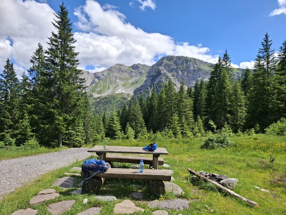
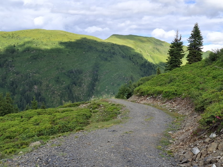
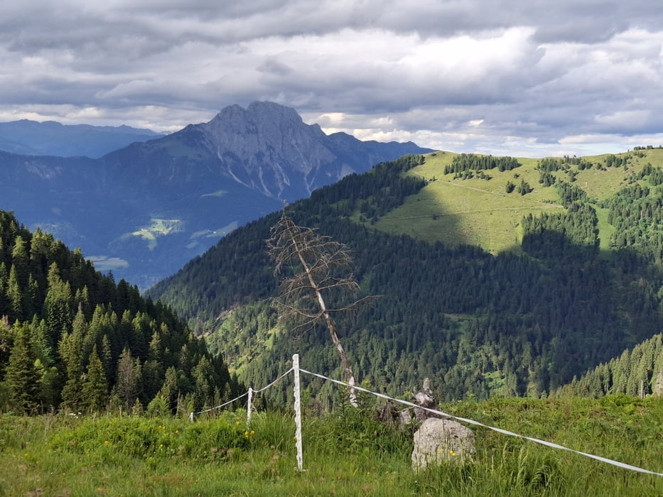
Eine ausgiebige Almentour über dem Gailtal mit Abstecher nach Italien. Schiebepassagen über den Rattendorfer Sattel und nach der Ahornach Alm jeweils ca halbe Stunde. Ansonsten bewegen wir uns meist auf schönen Schotterstraßen. Die Abfahrt über die Bischofalmen ist neu für mich und durchaus empfehlenswert.
Zudem gibt es viele Einkehrmöglichkeiten, zB. Rattendorfer Alm, Straniger Alm (wenn man einen kleinen Umweg macht), Waidegger Alm (mit sehr gutem selbst produziertem Gailtaler Almkäse!), Zollnersee Hütte.
Einschränkungen
This tour has a carry or push section on 2 kilometers
Galeria trasy

Mapa trasy i profil wysokości
Minimum height 600 m
Maximum height 1810 m
More about the tour author
|
|
mitter |
Komentarze

Start in Rattendorf.
Einschränkungen
This tour has a carry or push section on 2 kilometers
GPS tracks
Trackpoints-
GPX / Garmin Map Source (gpx) download
-
TCX / Garmin Training Center® (tcx) download
-
CRS / Garmin Training Center® (crs) download
-
Google Earth (kml) download
-
G7ToWin (g7t) download
-
TTQV (trk) download
-
Overlay (ovl) download
-
Fugawi (txt) download
-
Kompass (DAV) Track (tk) download
-
Karta trasy (pdf) download
-
Original file of the author (gpx) download
More about the tour author
|
|
mitter |
Add to my favorites
Remove from my favorites
Edit tags
Open track
My score
Rate