Login

Zapomniałeś swój login?

Cookies have to be accepted!
Your browser's cookie functionality is disabled. Please enable this functionality.

Not a member yet?

Register now
Login

Available for registred users only

Log in to use this feature.

Zapomniałeś swój login?

Cookies have to be accepted!
Your browser's cookie functionality is disabled. Please enable this functionality.

Not a member yet?

Register now
Filter
Kategorie
Advanced filters
  • Długość (km)
  • Wysokość
Zapisz filtr Reset filter

TrackRank

QRCode

Technical data

Długość26,7 km Wysokość180 m Way down184 m Czas trwania07:02 h:m Data22.08.2024
Oceny Author Krajobraz Czynnik zadowolenia Kondycja Technika

Statystyka

76 Widoki Oceny 1 Download Przeciętnie
Rate
  • Karta trasy
  • Dojazd
  • Downloads / Pliki do pobrania

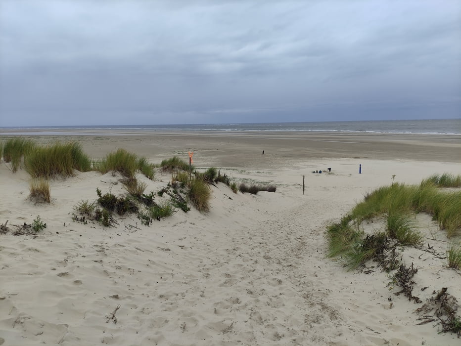
Durch die Greune Stee geht es über den Südstrand und über die Promenade zum Beginn des Dünenweges.

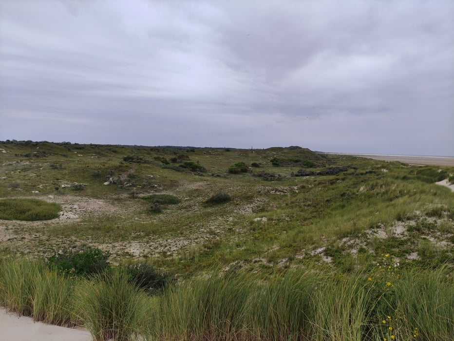
Über den Dünenweg und den Waldlehrpfad geht es zum Flugplatz. Hier gibt es einen schönen Spielplatz mit Blick auf das Flugfeld zum Verweilen.

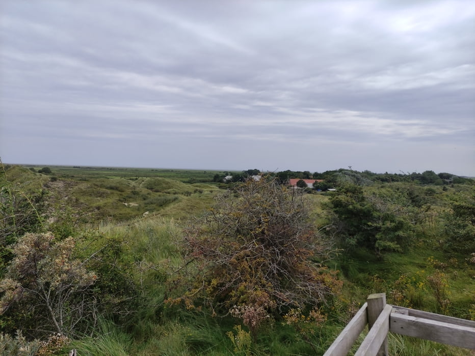
Vom Flughafen geht es über die Autostraße zum Aussichtspunkt Olde Düne und weiter zum Wasserwerk, wo man uber die Dünen zum Strand kommt.

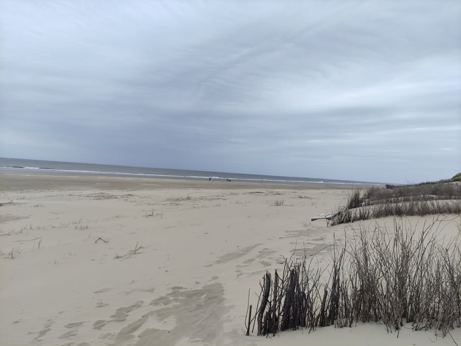
Nach einer Pause am Strand geht es wieder zurück.

Galeria trasy

Mapa trasy i profil wysokości

  • Open Street Map
  • Google
Minimum height 19 m Maximum height 59 m Widok szczegółowy

More about the tour author

Jedi-opa
Member since 2013

Send private message

Komentarze

GPS tracks

Trackpoints
  • GPX / Garmin Map Source (gpx) download
  • TCX / Garmin Training Center® (tcx) download
  • CRS / Garmin Training Center® (crs) download
  • Google Earth (kml) download
  • G7ToWin (g7t) download
  • TTQV (trk) download
  • Overlay (ovl) download
  • Fugawi (txt) download
  • Kompass (DAV) Track (tk) download
  • Karta trasy (pdf) download
  • Original file of the author (gpx) download

More about the tour author

Jedi-opa
Member since 2013

Send private message
Share track
Add to my favorites
Remove from my favorites
Edit tags
My score
Rate
Trasa: Borkum - Dünenweg zum Oststrand
Rodzaj: Rower trekkingowy
Długość: 26,7 km
Evaluated on:
Czas trwania:
Day(s)
Hour(s)
Minute(s)
Ocena: Krajobraz Czynnik zadowolenia Kondycja Technika