


Kitzbühel-Pengelstein-Stangenjoch-Baumgartenalm-Bramberg a.W-Neukirchen a.G.
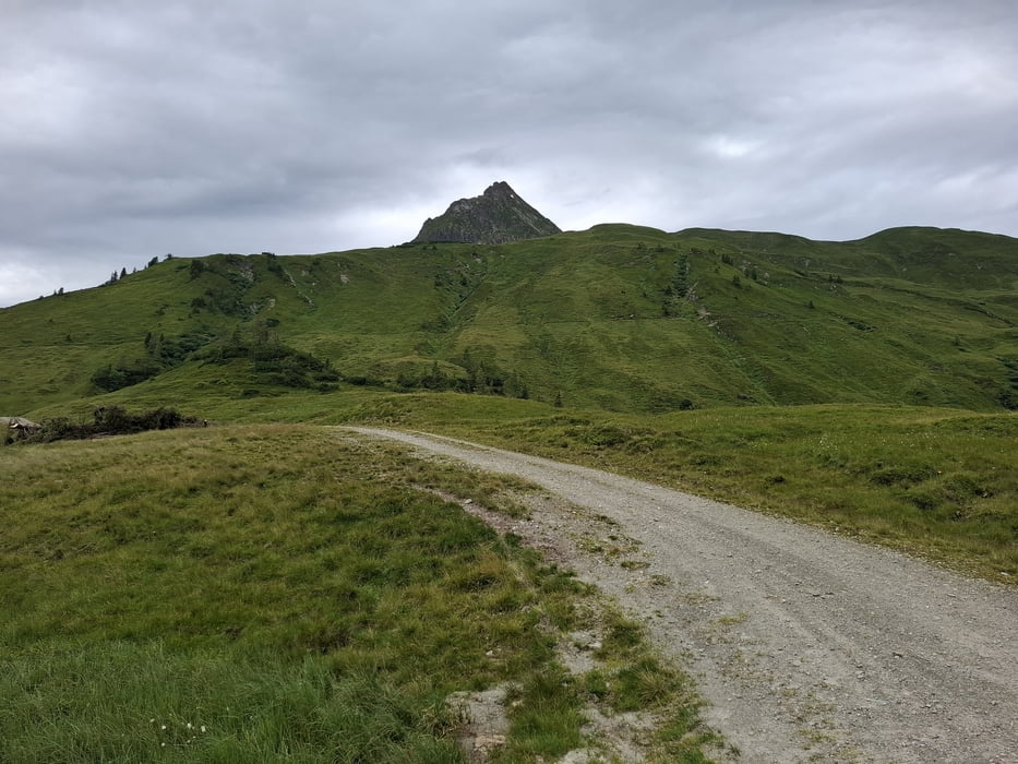
Von Kitz weg direkt die "Hahnenkammstrecke" rauf Rg Pengelstein. Anfangs steiler Asphalt, dann angenehme Steigung auf gutem Schotter. Zum Stangenjoch nehm ich den "Aschauer Höhenweg", wieder guter Schotter.
Erst ab der Alm(?) beginnt dann der Wiesenweg, der etwas mühsam aber doch großteils zu fahren ist bis auf die letzte kurze Steilstufe. Das ist auch bergab als Schiebestrecke ausgeschildert.
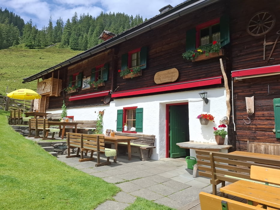
Vom Stangenjoch runter wieder auf gutem Schotter. Einkehr in der Baumgartenalm, Empfehlung! Von da nehm ich die Diritissima nach Bramberg (und spar somit die geplanten 800hm über den Wildkogel).
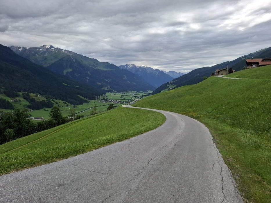
Auf dem Tauernradweg noch 7km bis Neukirchen.
Quartier: B&B Hölzl, NF 53€ + 16€ Frühstück und Kurtaxe.
Galeria trasy

Mapa trasy i profil wysokości
Minimum height 776 m
Maximum height 1938 m
More about the tour author
|
|
mitter |
Komentarze

Start in Kitzbühel beim Roomie Alps Hotel.
GPS tracks
Trackpoints-
GPX / Garmin Map Source (gpx) download
-
TCX / Garmin Training Center® (tcx) download
-
CRS / Garmin Training Center® (crs) download
-
Google Earth (kml) download
-
G7ToWin (g7t) download
-
TTQV (trk) download
-
Overlay (ovl) download
-
Fugawi (txt) download
-
Kompass (DAV) Track (tk) download
-
Karta trasy (pdf) download
-
Original file of the author (gpx) download
More about the tour author
|
|
mitter |
Add to my favorites
Remove from my favorites
Edit tags
Open track
My score
Rate