Login

Zapomniałeś swój login?

Cookies have to be accepted!
Your browser's cookie functionality is disabled. Please enable this functionality.

Not a member yet?

Register now
Login

Available for registred users only

Log in to use this feature.

Zapomniałeś swój login?

Cookies have to be accepted!
Your browser's cookie functionality is disabled. Please enable this functionality.

Not a member yet?

Register now
Filter
Kategorie
Advanced filters
  • Długość (km)
  • Wysokość
Zapisz filtr Reset filter

TrackRank

QRCode

Technical data

Długość45,0 km Wysokość889 m Way down908 m Czas trwania03:00 h:m Data07.07.2008
Oceny Author User Krajobraz Czynnik zadowolenia Kondycja Technika

Statystyka

2550 Widoki 3 Oceny 190 Downloads / Pliki do pobrania 3.00 Przeciętnie
Rate
  • Karta trasy
  • Dojazd
  • Downloads / Pliki do pobrania
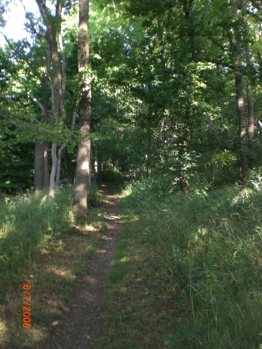
Die Tour startet  in Geislingen bei der Tegelberschule führt dann auf die Albhochfläche vorbei am Flugplatz Messelberg hinunter nach Degenfeld wo wir an der Schiflugschanze den Aufstieg zum Franz Keller Haus. Von dort führt ein Trail hinunter zu Reiterles Kapelle. Wir nehmen den rechten Hangweg und fahren hinunter nach Donzdorf. Durch den Waldweg gelangen wir oberhalb  Gingen und Kuchen zurück nach Geislingen

Further information at

http://www.alpencrosstouren.info

Galeria trasy

Mapa trasy i profil wysokości

  • Open Street Map
  • Google
Minimum height 403 m Maximum height 809 m Widok szczegółowy

More about the tour author

Schwabe
Member since 2007

Send private message

Komentarze


GPS tracks

Trackpoints
  • GPX / Garmin Map Source (gpx) download
  • TCX / Garmin Training Center® (tcx) download
  • CRS / Garmin Training Center® (crs) download
  • Google Earth (kml) download
  • G7ToWin (g7t) download
  • TTQV (trk) download
  • Overlay (ovl) download
  • Fugawi (txt) download
  • Kompass (DAV) Track (tk) download
  • Karta trasy (pdf) download
  • Original file of the author (gpx) download

More about the tour author

Schwabe
Member since 2007

Send private message
Share track
Add to my favorites
Remove from my favorites
Edit tags
My score
Rate
Trasa: Franz Keller Haus
Rodzaj: Rower górski (MTB)
Długość: 45,0 km
Evaluated on:
Czas trwania:
Day(s)
Hour(s)
Minute(s)
Ocena: Krajobraz Czynnik zadowolenia Kondycja Technika