

Pianezzo-Alpe Caviano-Monte-Muggio-Rif.Prabello-Colma Crocetta-Rif. Murelli-Rif.Bugone-CAI Bossi-bei Vetta Bisbino-Sagno-Castel San Pietro-Alpe Caviano-Pianezzo
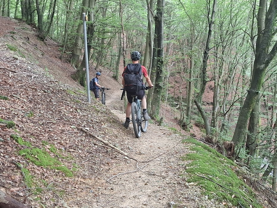
Runter zur Alpe Caviano auf gutem Schotter, dann links weg auf Wanderweg Rg Monte. Für mich leider viel zu schieben. Monte ist ein pittoreskes Dorf. Straße, dann wieder schwieriger Trail, wo wir zwei harte Burschen getroffen haben… der eine hat sich gerade den Sattel abgerissen...
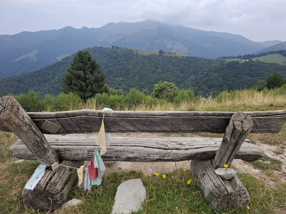
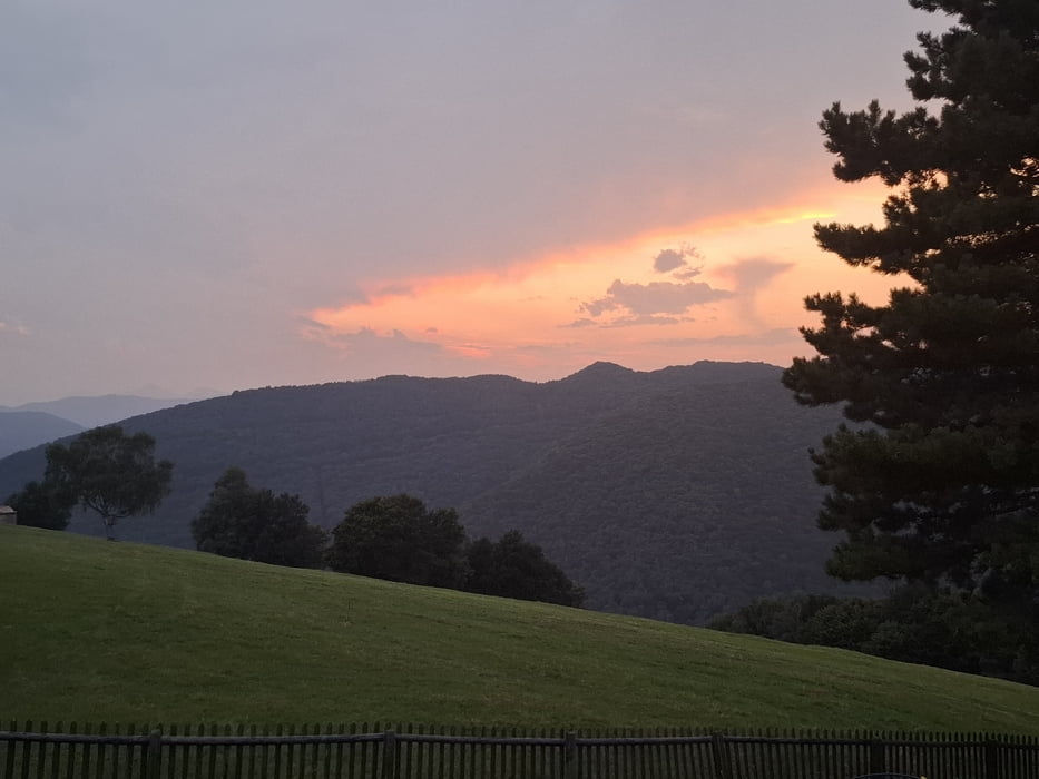
Nachdem wir Muggio passiert haben, geht’s tw recht steil und auch ein bisschen rau zur Sache, allerdings fahrbar. Heute sind wir direkt am Rif. Prabello vorbeigekommen. Schöne Aussicht auch auf den Comersee.
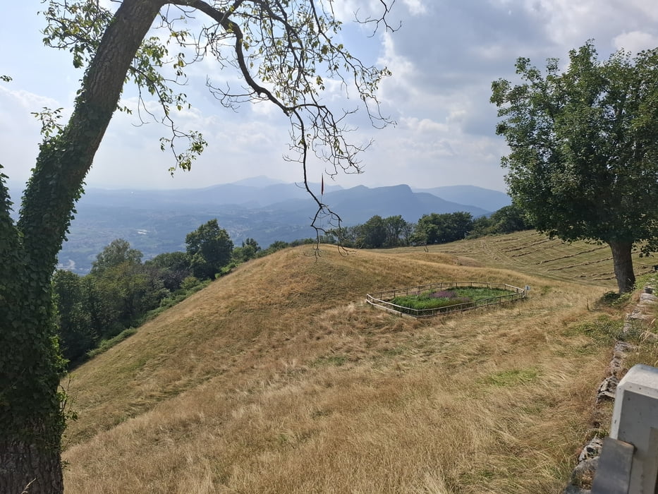
Weiter übers Colmo Crocetta, am Rif. Murelli und Rif. Bugone vorbei (heute hatten beide Hütten offen). Dann Rg Monte Bisbione, den wir dann links herum umfahren. Dann lange, gute Abfahrt (Schotter, Wiese) nach Sagno.
Straße nach Castel San Pietro. Von da nehmen wir die Auffahrt zur Alpe Caviano. Viel Naturpflaster, einiges Geschiebe, erst ab der Alpe wird es gut fahrbar.
Galeria trasy
Mapa trasy i profil wysokości
Minimum height 470 m
Maximum height 1285 m
More about the tour author
|
|
mitter |
Komentarze

Start und Ziel in Pianezzo.
GPS tracks
Trackpoints-
GPX / Garmin Map Source (gpx) download
-
TCX / Garmin Training Center® (tcx) download
-
CRS / Garmin Training Center® (crs) download
-
Google Earth (kml) download
-
G7ToWin (g7t) download
-
TTQV (trk) download
-
Overlay (ovl) download
-
Fugawi (txt) download
-
Kompass (DAV) Track (tk) download
-
Karta trasy (pdf) download
-
Original file of the author (gpx) download
More about the tour author
|
|
mitter |
Add to my favorites
Remove from my favorites
Edit tags
Open track
My score
Rate