

Pianezzo-Mendrisio-Zug nach Paradiso-Carabbia-Morcote-Vico Morcote-Pescia-Rist. Vicania-Melide-Capolago-Mendrisio-Pianezzo
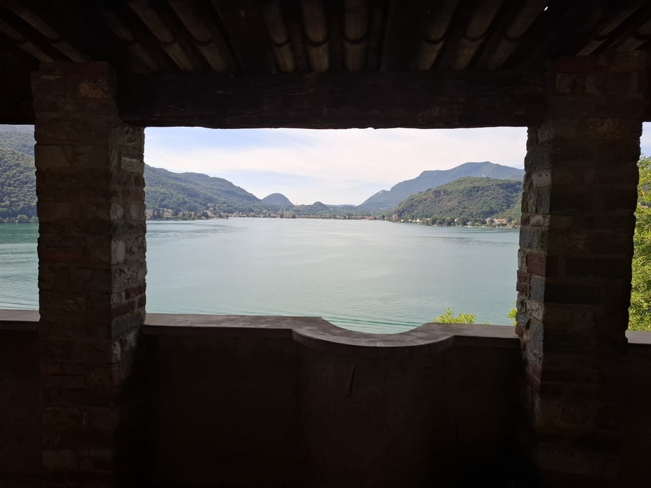
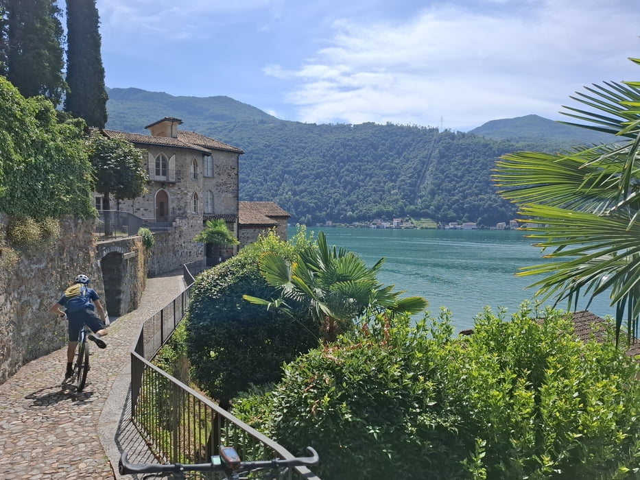
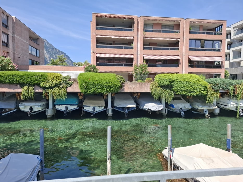
Von Paradiso ausgehend kreuzen wir diese schöne Halbinsel. Der trail runter nach Morcote hats in sich mit vielen Wurzeln, ist aber großteils fahrbar. Morcote ist bezaubernd! Dann wieder hinauf auf Asphalt leider in brütender Hitze.
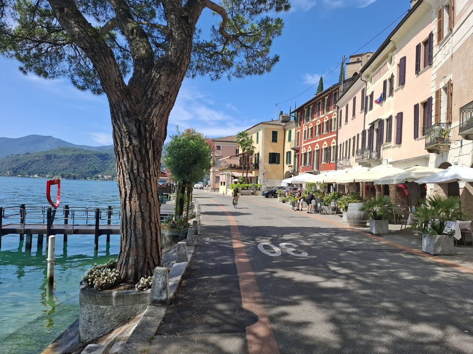
Oben tauchen wir wieder in den Wald ein und finden auch wieder MTB würdigen Untergrund vor. Gut fahrbar. Zum See runter dann wieder auf der Straße. Von Melida nehmen wir den Radweg Rg Mendrisio.
Leider gibt es diesen nicht durchgängig. Nicht so super. Zum Schluss noch die obligatorischen 800hm rauf nach Pianezzo.
Zugstrecke, ca 14 km ist abzuziehen.
Galeria trasy
Mapa trasy i profil wysokości
Minimum height 287 m
Maximum height 1160 m
More about the tour author
|
|
mitter |
Komentarze

Start und Ziel in Pianezzo.
GPS tracks
Trackpoints-
GPX / Garmin Map Source (gpx) download
-
TCX / Garmin Training Center® (tcx) download
-
CRS / Garmin Training Center® (crs) download
-
Google Earth (kml) download
-
G7ToWin (g7t) download
-
TTQV (trk) download
-
Overlay (ovl) download
-
Fugawi (txt) download
-
Kompass (DAV) Track (tk) download
-
Karta trasy (pdf) download
-
Original file of the author (gpx) download
More about the tour author
|
|
mitter |
Add to my favorites
Remove from my favorites
Edit tags
Open track
My score
Rate