


Cap. Pairolo-Colmo San Bernardo-Capanna San Lucio-Capanna Monte Bar-Motto della Croce-Rivera-Tenero-Locarno-Maggia-Cevio-Linesco
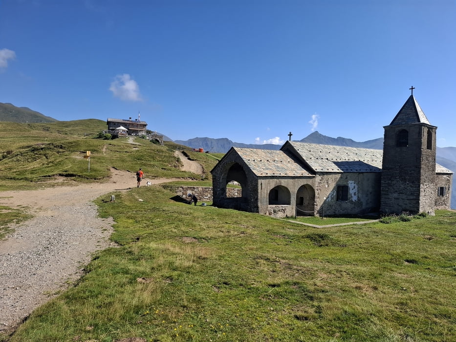
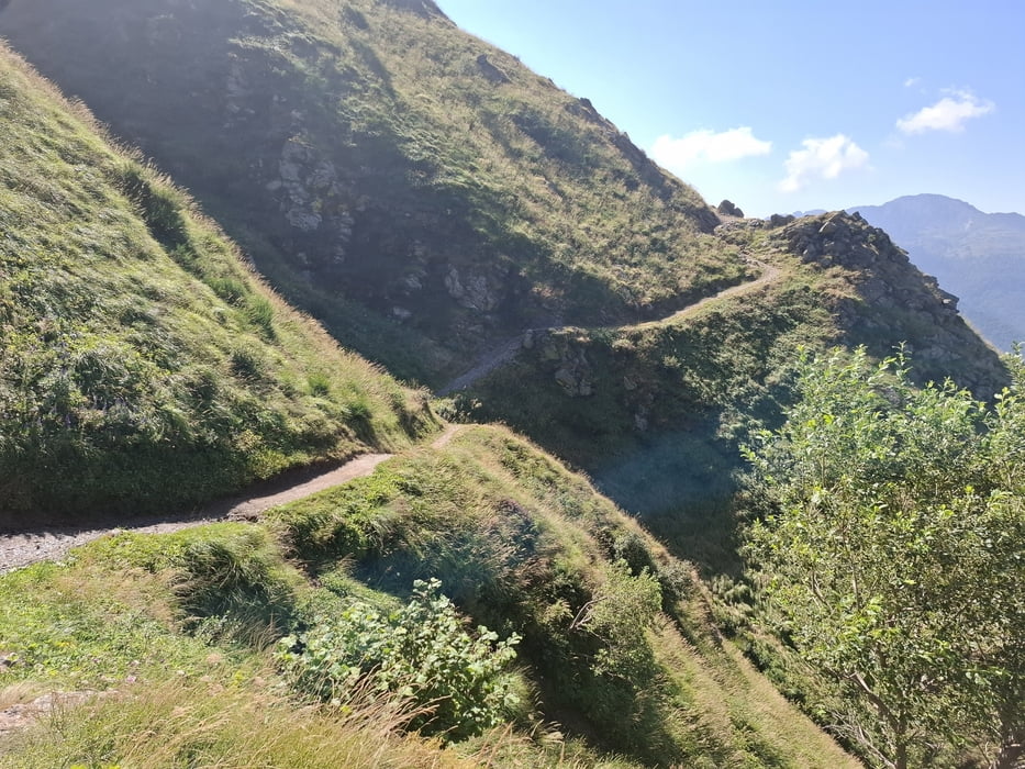
Tolle trails und nicht so tolle. Nach San Lucio und bis Cap. Monte Bar großteils wunderbar fahrbar, super! Von Motto della Croce runter großteils zu schwierig (ausgewaschen!). Und auch der trail runter ins Tal ist nur teilweise schön, auch hier haben die Unwetter offenbar einigen Schaden angerichtet.
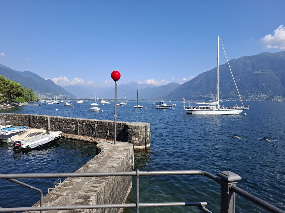
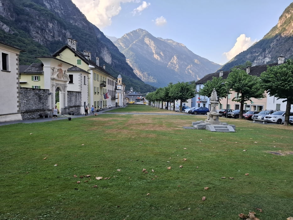
Zum Ende die lange Strecke auf dem Radweg "Valle Maggia", häufig durch die Dörfer. Schön angelegt. In Cevio hab ich die kürzlich durch ein Unwetter eingestürzte Brücke gesehen.
Von da noch ca 250hm auf der Straße hinauf nach Linesco. Am Abend noch ein klassisches Konzert in der kleinen Kirche… bissl Kultur.
Quartier: Guesthouse By Wild, NF 48CHF, Einzelzimmer! sehr originell, auch der Wirt (ein Kletterer!), offenherzig, großzügig, spontan.
Galeria trasy
Mapa trasy i profil wysokości
Minimum height 273 m
Maximum height 1610 m
More about the tour author
|
|
mitter |
Komentarze

Start bei der Capanna Pairolo.
GPS tracks
Trackpoints-
GPX / Garmin Map Source (gpx) download
-
TCX / Garmin Training Center® (tcx) download
-
CRS / Garmin Training Center® (crs) download
-
Google Earth (kml) download
-
G7ToWin (g7t) download
-
TTQV (trk) download
-
Overlay (ovl) download
-
Fugawi (txt) download
-
Kompass (DAV) Track (tk) download
-
Karta trasy (pdf) download
-
Original file of the author (gpx) download
More about the tour author
|
|
mitter |
Add to my favorites
Remove from my favorites
Edit tags
Open track
My score
Rate