


Linescio-Cevio-Cavergno-Peccia-Fusio-Lago di Sambuco-Laghetti di Sassolo-Lago del Naret-Passo del Naret-Alpe di Cristallina-Airolo
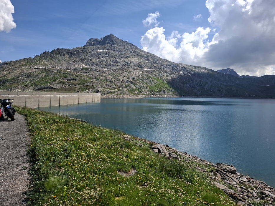
Nach 3km Abfahrt bis Cevio weitere ca 37 km rauf zum Lago del Naret (Stausee). Die beiden natürlichen Seen vorher - Laghetti di Sassolo - wirken um Vieles bezaubernder. Nachdem ich über die Staumauer gefahren bin, geht’s einen Wanderweg steil bergan: Schieben!
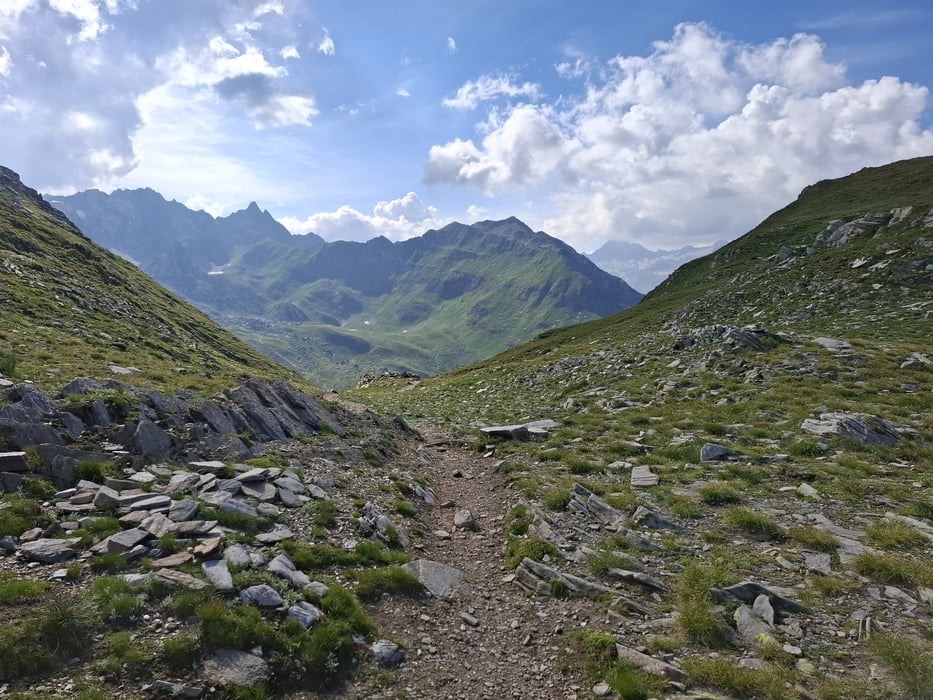
Bis zum Passo del Naret, 2438m. Zum Glück hab ich am Stausee von einem jungen Pärchen noch Wasser bekommen. Vom Pass runter ist es dann leider auch nicht fahrbar. Erst bei der Alpe Cristallina beginnt der Schotterweg. Ab hier bin ich auch wierder auf einer offiziellen MTB Strecke.
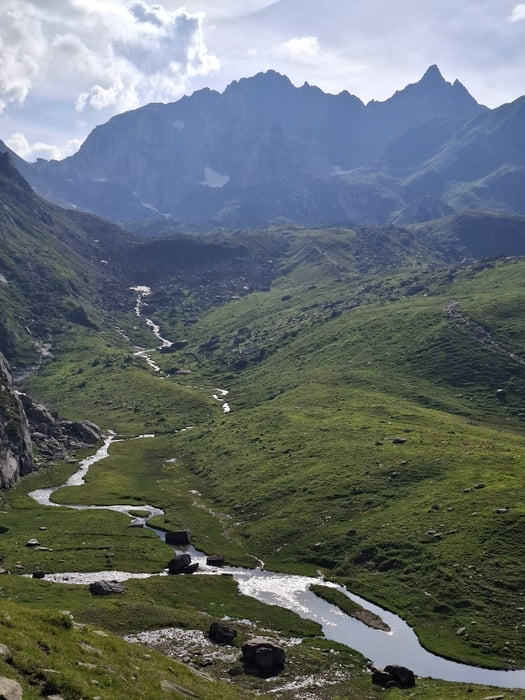
Wegen eines Baumwurfs musste ich noch ein paar hm extra machen. Zuletzt auf Schotter, dann Teer runter nach Airolo.
Quartier: Hotel des Alpes, NF 75CHF, Klo und Bad auf der Etage, alt aber ok.
Galeria trasy
Mapa trasy i profil wysokości
Minimum height 413 m
Maximum height 2435 m
More about the tour author
|
|
mitter |
Komentarze

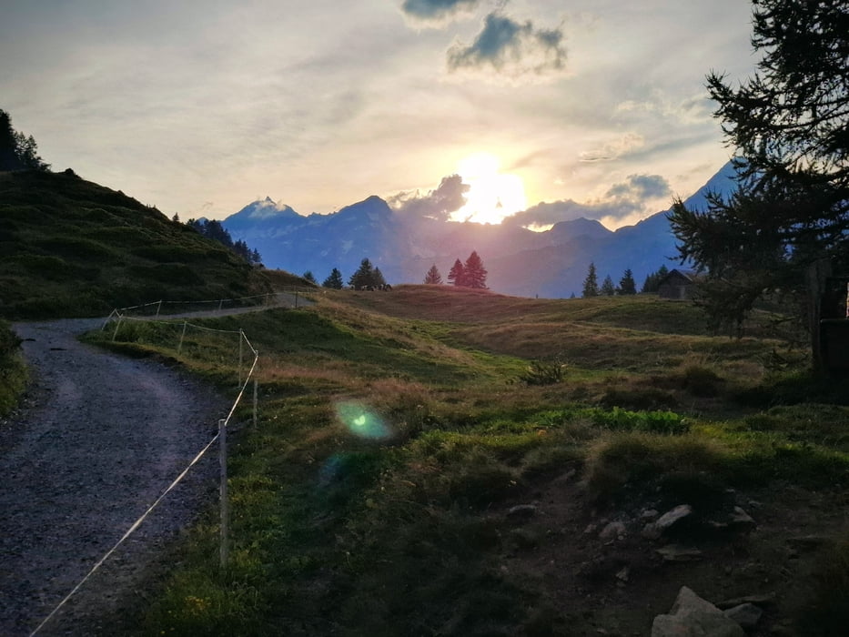
Start in Linescio, Guesthouse By Wild
GPS tracks
Trackpoints-
GPX / Garmin Map Source (gpx) download
-
TCX / Garmin Training Center® (tcx) download
-
CRS / Garmin Training Center® (crs) download
-
Google Earth (kml) download
-
G7ToWin (g7t) download
-
TTQV (trk) download
-
Overlay (ovl) download
-
Fugawi (txt) download
-
Kompass (DAV) Track (tk) download
-
Karta trasy (pdf) download
-
Original file of the author (gpx) download
More about the tour author
|
|
mitter |
Add to my favorites
Remove from my favorites
Edit tags
Open track
My score
Rate