

Seit 2022 gibt es den Ries-Panoramaweg der in 7 Tagesetappen von jeweils ca. 20km um den Ries-Kraterrand führt. Normalerweise ist es für Wanderer gedacht. Ich bin jede Etappe mit dem MTB gefahren und dann zum Ausgangspunkt zurückgefahren und dabei versucht viel befahrene Straßen zu meiden.
https://www.geopark-ries.de/wege/riespanoramaweg/
Man kann das Treckingbike nehmen. Am besten geht es jedoch mit dem MTB. Auf der Etappe 4 geht es von Raustetten nach Kirchheim am Ries.
Besonderheiten:
-
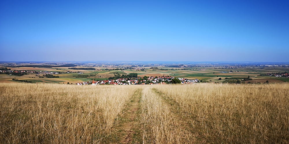
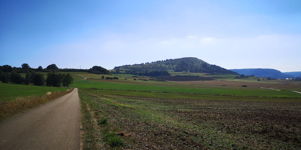
Tumhügel „Hofwiesberg“ Enslingen
-
Stockenweiher
-
Naturnahe Bademöglichkeit
-
Kreuzbergkapelle mit Kreuzweg
-
Kapellenberg mit Maria-Hilf-Kapelle
-
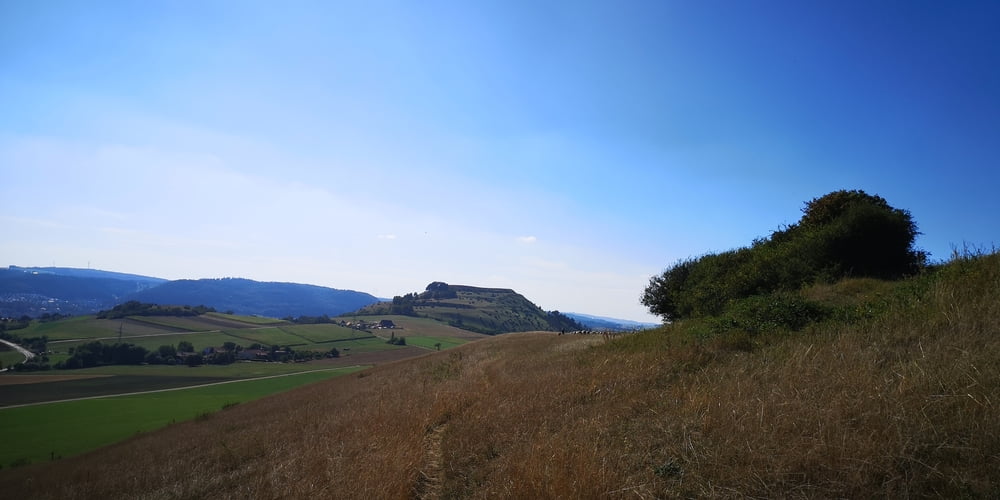
Blasienberg
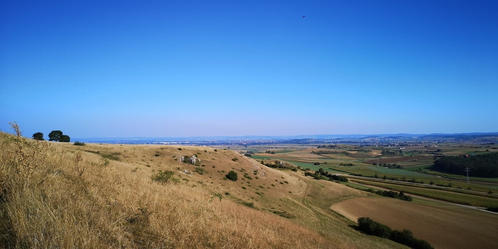
Aussicht in das Ries nach Nördlingen und auf den Ipf -
Geopark Ries Infostelle am Rastplatz kurz vor Kirchheim am Ries
Dies hier ist eine Überarbeitung der Tour ttps://www.gps-tour.info/de/touren/detail.181193.html. Diesmal ohne B25 und B29 und noch mehr Feldwege.
Etappe 1: https://www.gps-tour.info/de/touren/detail.179600.html
Etappe 2: https://www.gps-tour.info/de/touren/detail.180969.html
Etappe 3: https://www.gps-tour.info/de/touren/detail.181118.html
Etappe 4: https://www.gps-tour.info/de/touren/detail.181193.html
Etappe 5: https://www.gps-tour.info/de/touren/detail.181251.html
Etappe 6: https://www.gps-tour.info/de/touren/detail.181056.html
Etappe 7: https://www.gps-tour.info/de/touren/detail.181023.html
Galeria trasy
Mapa trasy i profil wysokości
Minimum height 61 m
Maximum height 630 m
More about the tour author
|
|
JoachimDief |
Komentarze

Nach Raustetten fahren. In der Nähe vom Landhotel Waldeck etwas Außerhalb des kleinen Ortes befindet sich die Info-Tafel mit Rastbank wo man das Auto parken kann um die Tour zu starten.
GPS tracks
Trackpoints-
GPX / Garmin Map Source (gpx) download
-
TCX / Garmin Training Center® (tcx) download
-
CRS / Garmin Training Center® (crs) download
-
Google Earth (kml) download
-
G7ToWin (g7t) download
-
TTQV (trk) download
-
Overlay (ovl) download
-
Fugawi (txt) download
-
Kompass (DAV) Track (tk) download
-
Karta trasy (pdf) download
-
Original file of the author (gpx) download
More about the tour author
|
|
JoachimDief |
Add to my favorites
Remove from my favorites
Edit tags
Open track
My score
Rate