Login

Zapomniałeś swój login?

Cookies have to be accepted!
Your browser's cookie functionality is disabled. Please enable this functionality.

Not a member yet?

Register now
Login

Available for registred users only

Log in to use this feature.

Zapomniałeś swój login?

Cookies have to be accepted!
Your browser's cookie functionality is disabled. Please enable this functionality.

Not a member yet?

Register now
Filter
Kategorie
Advanced filters
  • Długość (km)
  • Wysokość
Zapisz filtr Reset filter

TrackRank

QRCode

Technical data

Długość42,5 km Wysokość600 m Way down581 m Czas trwania02:15 h:m Data07.07.2008
Oceny Author Krajobraz Czynnik zadowolenia Kondycja Technika

Statystyka

693 Widoki Oceny 239 Downloads / Pliki do pobrania Przeciętnie
Rate
  • Karta trasy
  • Dojazd
  • Downloads / Pliki do pobrania
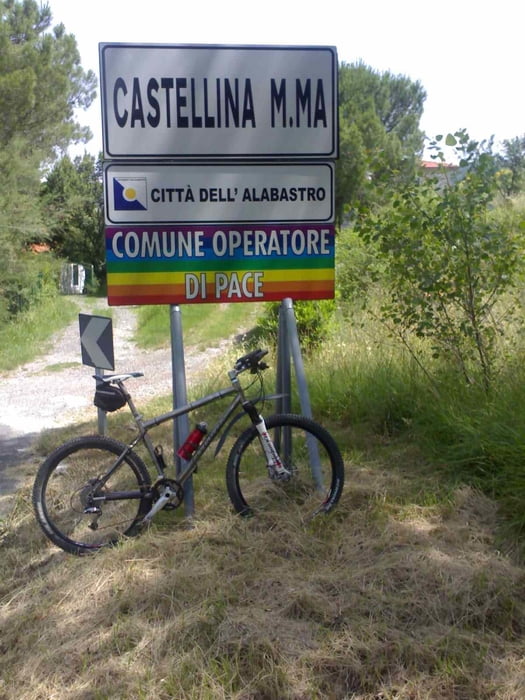
Tour mit zunächst viel Asphalt um CastellinaM.Mare und zum Abschluß die bekannte "Trailrunde ins Hinterland von Cecina", diesmal in abwärts-Richtung. Anfangs leider ein paar Kilometer auf einer SR.. (Strada regionale), die man in Italien eigentlich meiden sollte (besonders am Wochenende), dann aber zweigt man ab in die malerischen toskanischen Hügel und Berge.

Galeria trasy

Mapa trasy i profil wysokości

  • Open Street Map
  • Google
Minimum height 25 m Maximum height 403 m Widok szczegółowy

More about the tour author

berufsradler
Member since 2007

Send private message

Komentarze

GPS tracks

Trackpoints
  • GPX / Garmin Map Source (gpx) download
  • TCX / Garmin Training Center® (tcx) download
  • CRS / Garmin Training Center® (crs) download
  • Google Earth (kml) download
  • G7ToWin (g7t) download
  • TTQV (trk) download
  • Overlay (ovl) download
  • Fugawi (txt) download
  • Kompass (DAV) Track (tk) download
  • Karta trasy (pdf) download
  • Original file of the author (gpx) download

More about the tour author

berufsradler
Member since 2007

Send private message
Share track
Add to my favorites
Remove from my favorites
Edit tags
My score
Rate
Trasa: CastellinaM.Mare
Rodzaj: Rower górski (MTB)
Długość: 42,5 km
Evaluated on:
Czas trwania:
Day(s)
Hour(s)
Minute(s)
Ocena: Krajobraz Czynnik zadowolenia Kondycja Technika