


eine erweiterte Variante der Teuchl Tour.
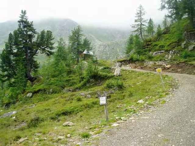
Wunderbarer Aufstieg und aussicht in die Teuchl....eine meiner schönsten touren
Wunderbarer Aufstieg und aussicht in die Teuchl....eine meiner schönsten touren
Galeria trasy
Mapa trasy i profil wysokości
Minimum height 606 m
Maximum height 2000 m
More about the tour author

|
mastergraf |
Komentarze

Ausgangspunkt ist das Gästehaus Graf
www.gaestehaus-graf.at
in Kolbnitz (Geimeinde Reisseck / Unteres Mölltal)
Auto: von Salzburg: Tauernautobahn A10, Abfahrt Lendorf, weiter Richtung Mölltal (Mallnitz) über Möllbrücke, Mühldorf bis Reißeck
von Süden: Grenzübergang Tarvisio, Autobahn Villach, Spittal, Abfahrt Mallnitz, weiter bis Reißeck
Bahn: Mit Bahn nach Spittal Millstätter See und von dort mittels Regionalzug oder Bus nach Kolbnitz
GPS tracks
Trackpoints-
GPX / Garmin Map Source (gpx) download
-
TCX / Garmin Training Center® (tcx) download
-
CRS / Garmin Training Center® (crs) download
-
Google Earth (kml) download
-
G7ToWin (g7t) download
-
TTQV (trk) download
-
Overlay (ovl) download
-
Fugawi (txt) download
-
Kompass (DAV) Track (tk) download
-
Karta trasy (pdf) download
-
Original file of the author (g7t) download
More about the tour author
|
|
mastergraf |
Add to my favorites
Remove from my favorites
Edit tags
Open track
My score
Rate