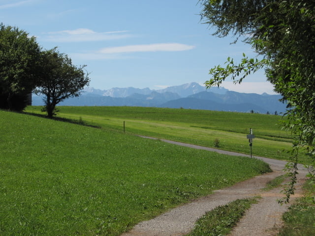
Wanderung auf einem Teilstück des Jakobsweges von Hohenpeißenberg nach Rottenbuch.
Ziel ist der Klosterhof von Rottenbuch.
Sehr schöne Wanderung durchs herrliche Ammertal auf einem tollen Pfad über Brücken und Holzstege.
Galeria trasy
Mapa trasy i profil wysokości
Minimum height 682 m
Maximum height 796 m
Komentarze

GPS tracks
Trackpoints-
GPX / Garmin Map Source (gpx) download
-
TCX / Garmin Training Center® (tcx) download
-
CRS / Garmin Training Center® (crs) download
-
Google Earth (kml) download
-
G7ToWin (g7t) download
-
TTQV (trk) download
-
Overlay (ovl) download
-
Fugawi (txt) download
-
Kompass (DAV) Track (tk) download
-
Karta trasy (pdf) download
-
Original file of the author (gpx) download
Add to my favorites
Remove from my favorites
Edit tags
Open track
My score
Rate


