
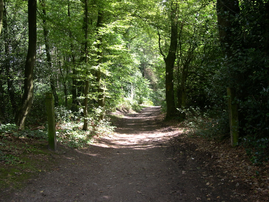

The Tour from the the Elzetterwood to the vijlenerwood and then up tho the 3 country point in Vaals (320m - higest point in the Netherlands)
Then goes te tour a little bit in to the Aachenerwood.
then back to the 3 country point and the last part of the tour to mecheln is al little bit easyer
Its a little bit heavy tour......70% of the tour is uphill.
Die tour get zu dan elzeeterwald und dan nach den vijlenerwald nach dan 3 landereck in vaals (320m das hochste punkt in der niederlande.
Ein kleines teil verlauft durch den aachenerwald wieder zuruck nach den 3 landereck.
70% der tour ist steigend
Und dan ein leichter teil zuruck nach mechelen,mit ein schoner donhill part.
De tocht gaat naar het elzetterbos en dan het vijlenerbos in langs het boscafe het "hijgend hert".
Dan door naar het 3 landenpunt en vandaar het Akenerbos in een klein gedeelte en dan weer terug naar het 3 landenpunt,waarna het laatste deel van de tour vrij relaxed is met een mooi downhill einde.
70% van de tocht is vals plat en klimmen,vooral het stuk tot aan het 3 landenpunt is pittig en gaat in de kuiten zitten.
Attention : 06-08-08 new tracklog including waypoints
Galeria trasy

Mapa trasy i profil wysokości
Minimum height 103 m
Maximum height 361 m
More about the tour author
|
|
BertAusten |
Komentarze
De start is in the Commandeurstraat 6281AM Mechelen (netherlands)
GPS tracks
Trackpoints-
GPX / Garmin Map Source (gpx) download
-
TCX / Garmin Training Center® (tcx) download
-
CRS / Garmin Training Center® (crs) download
-
Google Earth (kml) download
-
G7ToWin (g7t) download
-
TTQV (trk) download
-
Overlay (ovl) download
-
Fugawi (txt) download
-
Kompass (DAV) Track (tk) download
-
Karta trasy (pdf) download
-
Original file of the author (gpx) download
More about the tour author
|
|
BertAusten |
Add to my favorites
Remove from my favorites
Edit tags
Open track
My score
Rate
Uphill-Tour Mechelen
@Jef Van den Brande
Badankt voor het commentaar,ja zou kunnen,was aan het begin van navi rijden,zal route ooit nog eens overdoen en daar mooi alternatief bedenken.
Fijn dat het je bevallen is
Nog veel bike fun dit jaar.
Groeten
Bert (grand raid 2012)